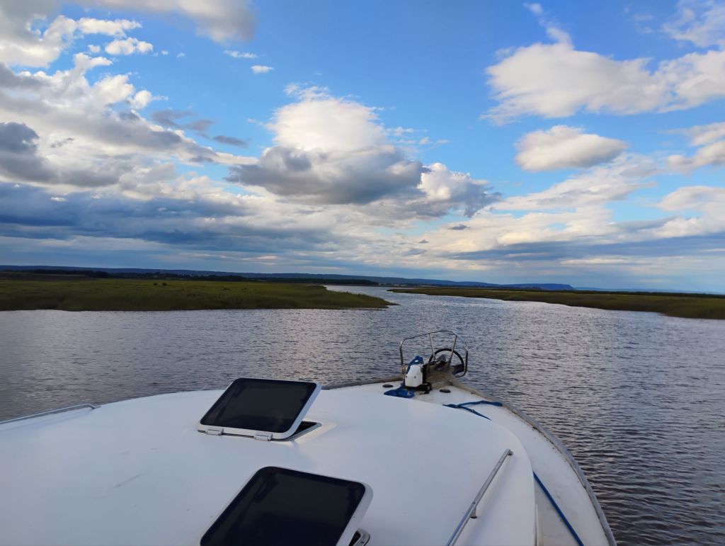
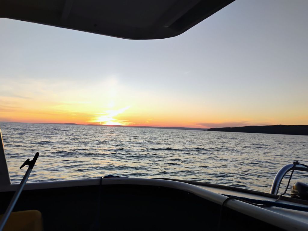
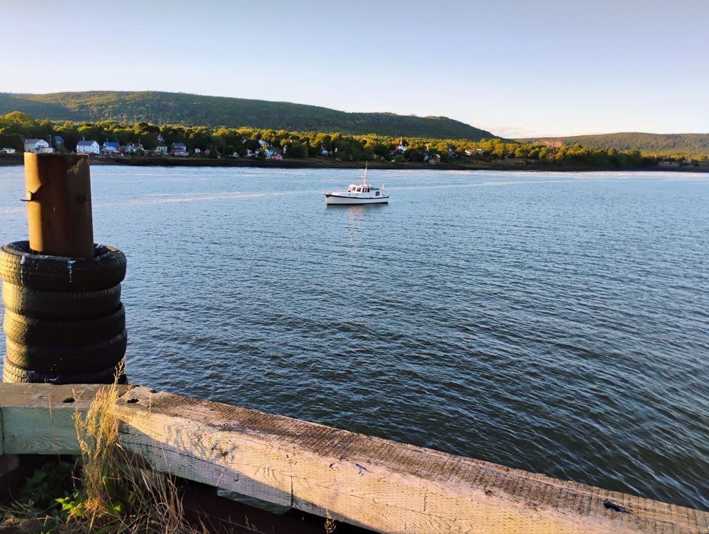
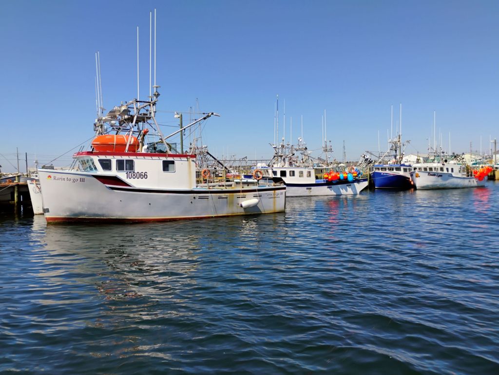
I’m now relaxed and enjoying the surroundings. It’s beautiful here. No sights or sounds of people apart from rafters and kayakers. They’ve all stopped to say they’ve never seen a big boat on the river.
This is a brief set of videos of the bore. Not a big deal for us. Tides are low this week, and we’re in a good spot.
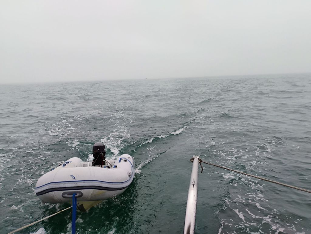
I took the dinghy for a spin briefly. Tomorrow morning I’ll go in on the tide to Stewiacke and Shubenacadie in the dinghy.
I took this from the dinghy after untying. It was like Escapade was motoring away.
Yesterday was a bit stressful. I didn’t get into any trouble, but have been on high alert for the last day or so, and slept fitfully last night.
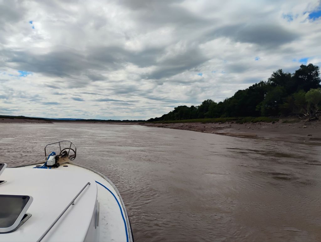
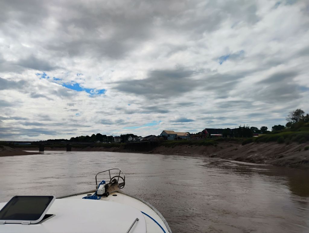
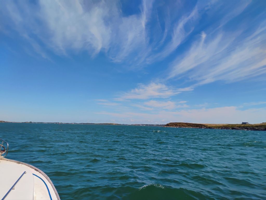
Like the day before, I got underway too soon. The closest tide station for this area is Burnt Head, and I was planning around that. I approached the head about an hour after low tide, with a good tail current and a 15 kt following breeze.
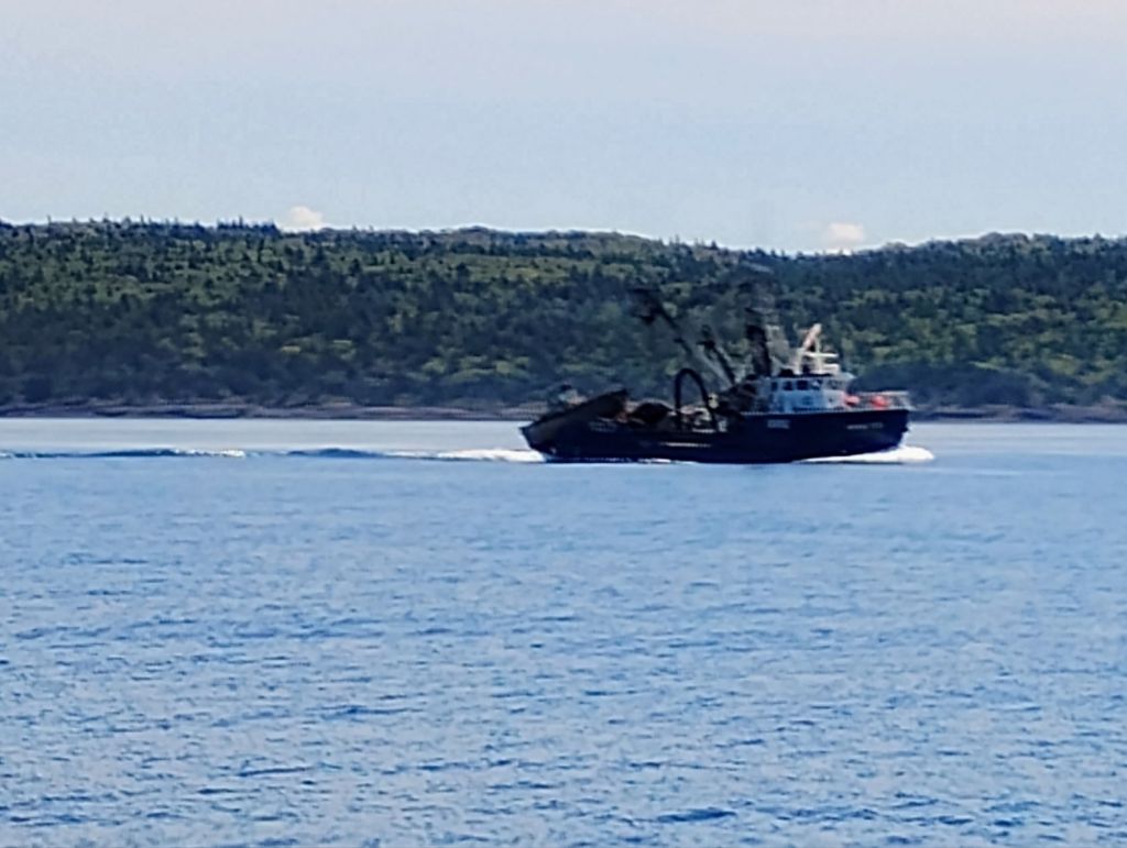
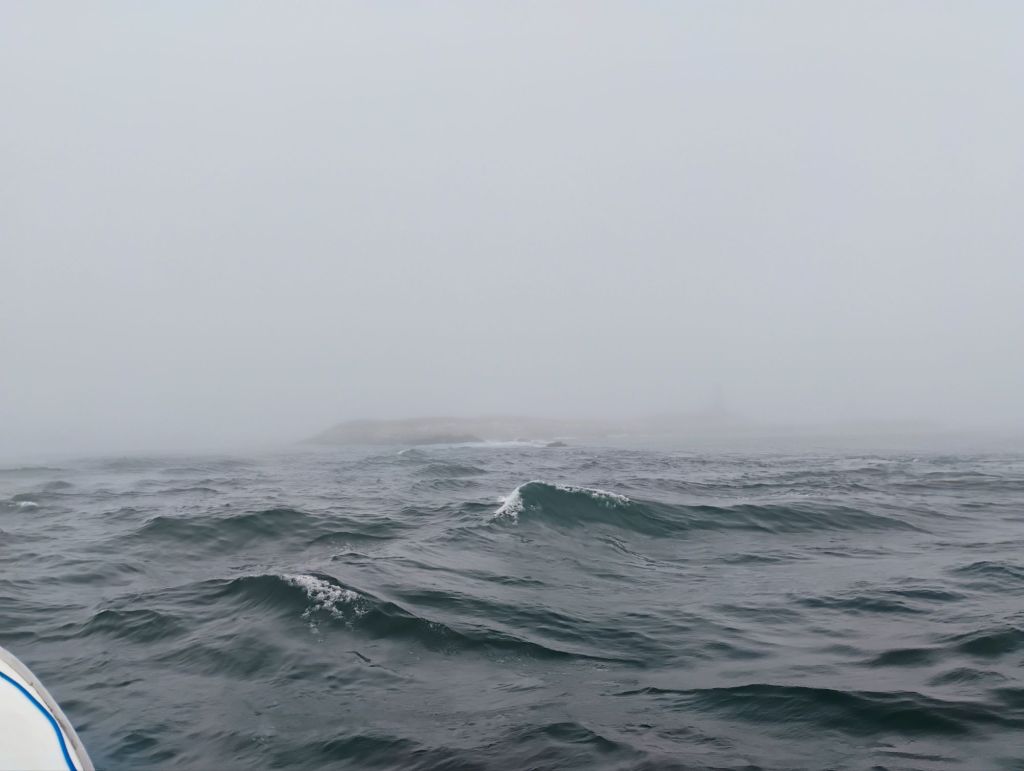
What I hadn’t taken into account was the tidal bore phenomenon. As I rode along at 10 mph I went through a large patch of turbulent water, and as I approached the sand bars at the head of the basin I realized that I had less depth than I was expecting. A quick check of tidal bore times revealed that the bore doesn’t arrive here until almost three hours after low tide. I had driven through the front of the bore again. I kept going until I was in ten ft of water and anchored for a couple of hours, and saw a 15 ft rise in water level.
Getting across the bars to the river was the next challenge. The tail current and waves didn’t make running up on one a good prospect. The charts give a few clues, and the rest I gleaned from looking at Google Maps satellite images. I didn’t see less than 15 ft on the way in, so did a good job picking a route.
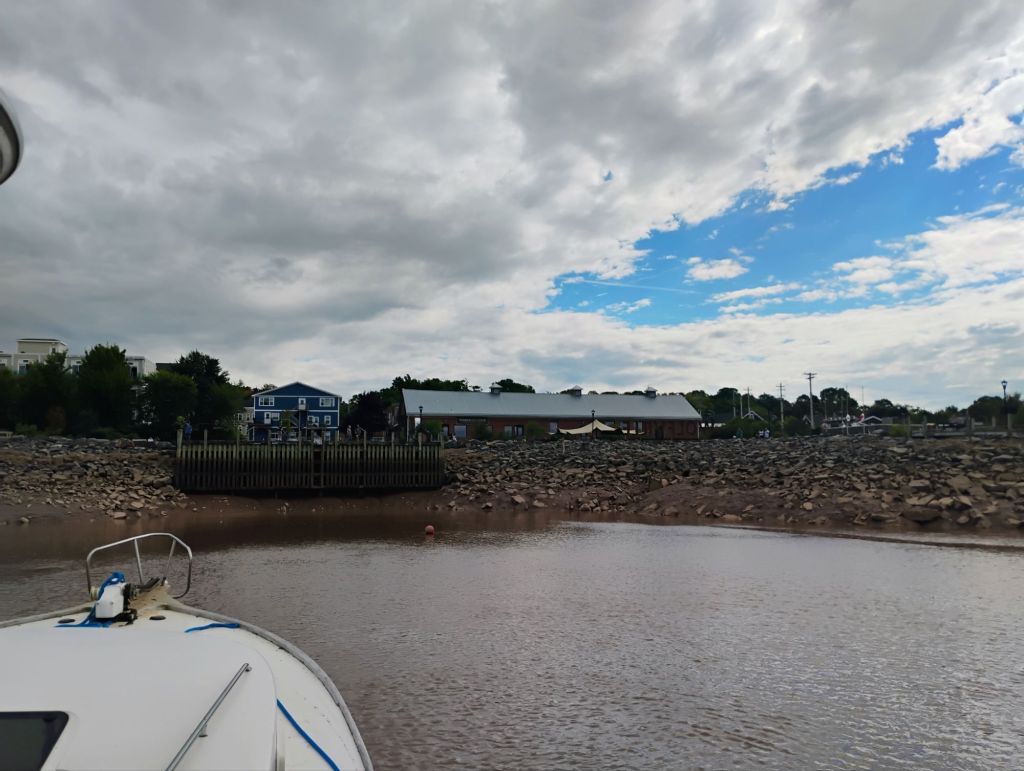
My charts all showed an area around here which would be deep enough to anchor and not be beached at low tide. The reported tidal range at Burnt Head was 30 ft, and I was seeing depths of 20-25 ft on my sounder.
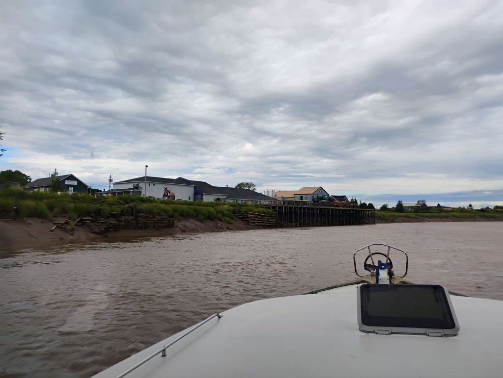
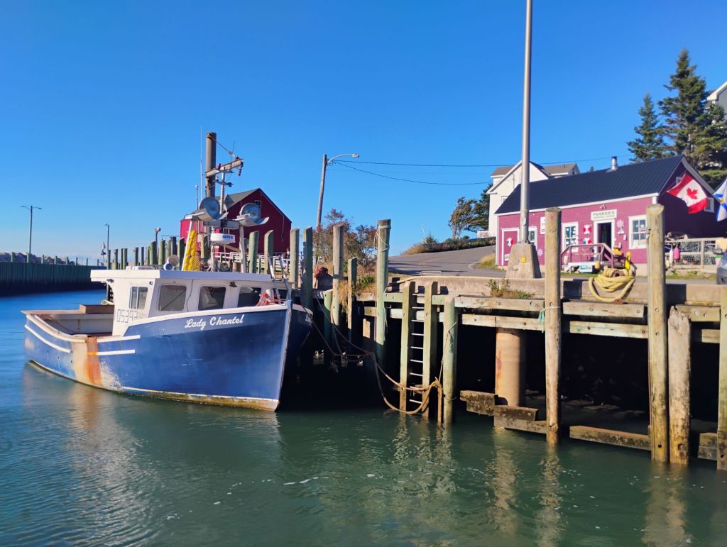
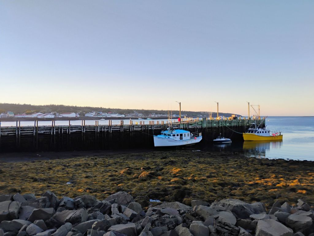
Around dusk as the current went slack a local self-proclaimed river rat came by to check me out. Marty helped me identify the deepest part of the river in a bit closer to shore, and I settled there with 32 ft of depth as the tide changed at 9:00 pm.
I was awake until about 2 am, and with the incoming bore expected about 345 I dozed on the settee. When I woke up it was to a lot of current, with my anchor occasionally breaking loose on a rocky bottom. I added a long nylon snubber, had a look around, and went to bed. The tide change around 10:00 got me up.
It turns out that the tidal range here is only about 20 ft, and it’s a weird schedule. The incoming tide takes about 4 hours, and the outgoing 8.
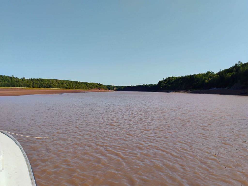
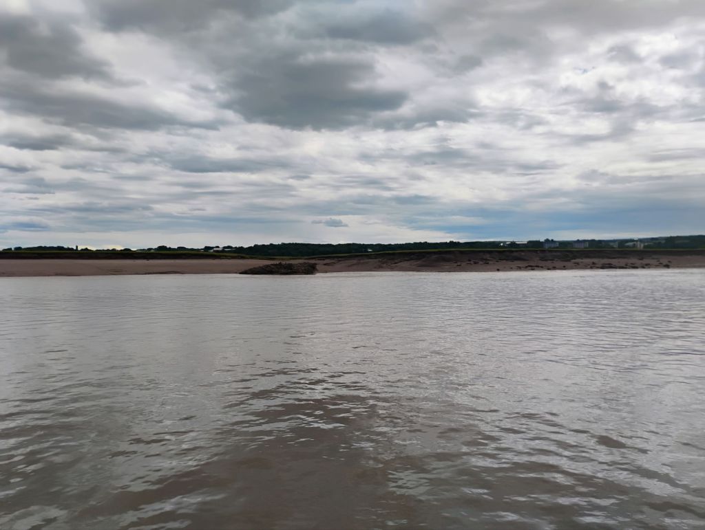
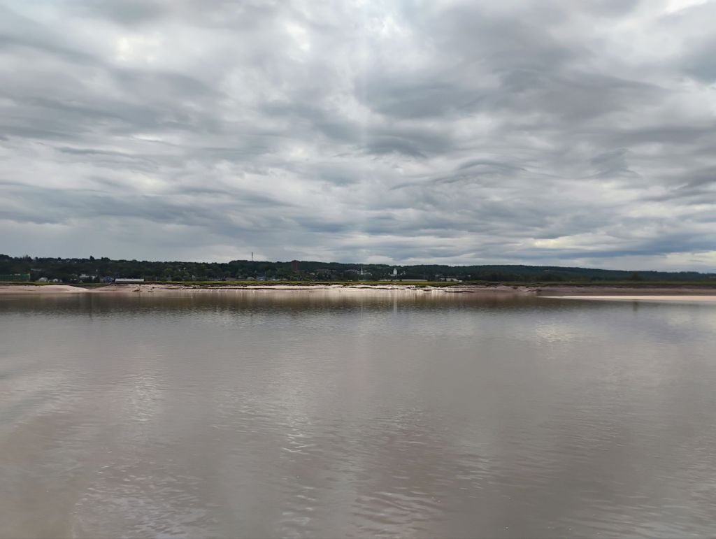
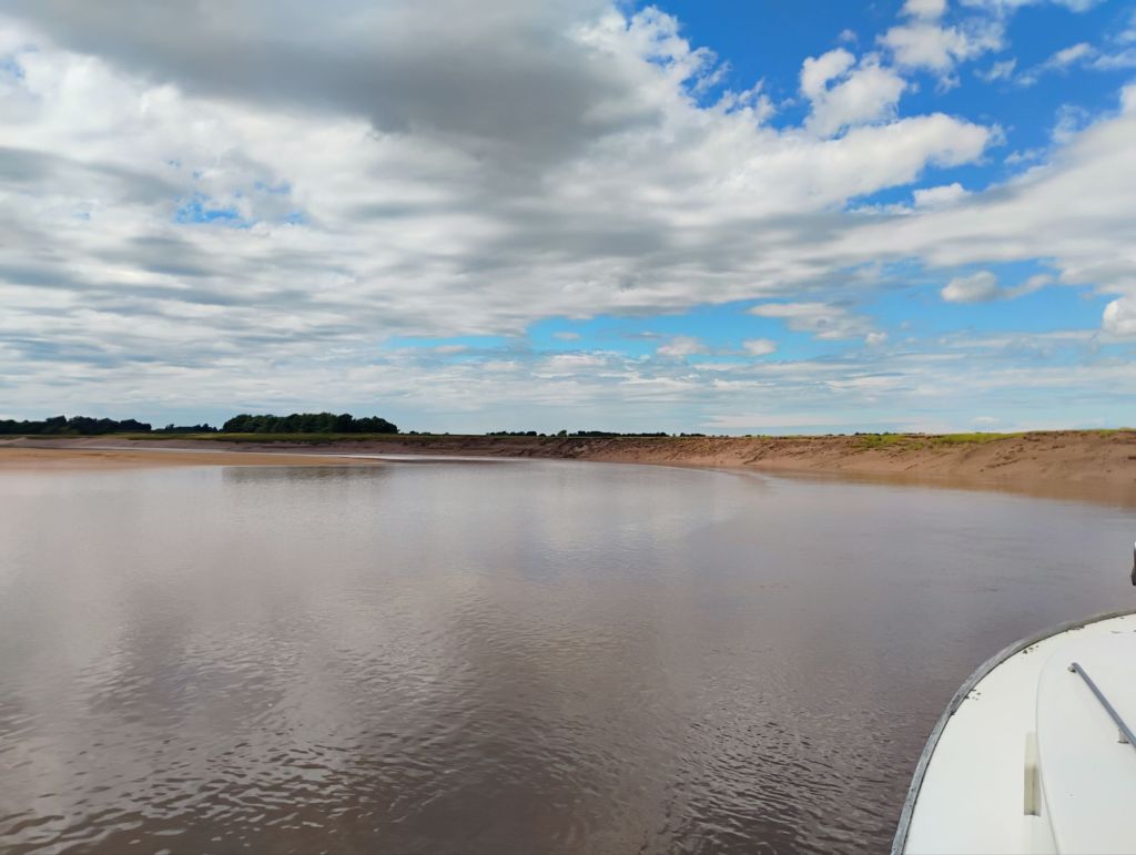
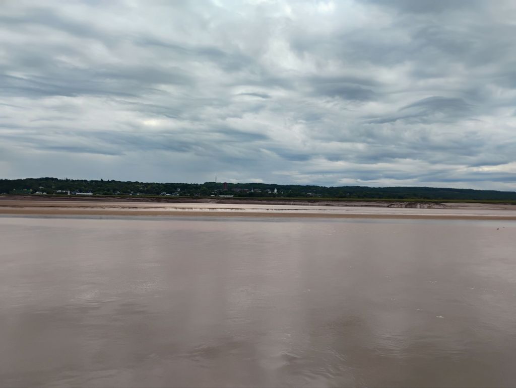
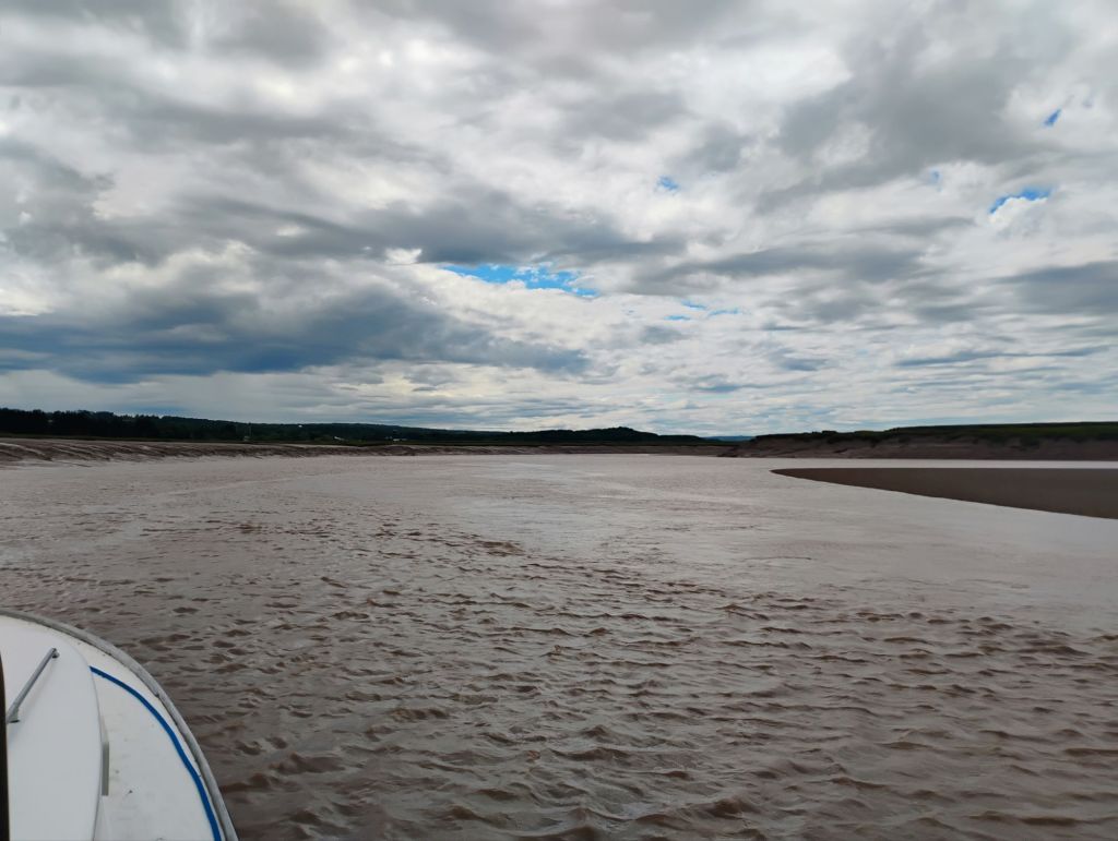
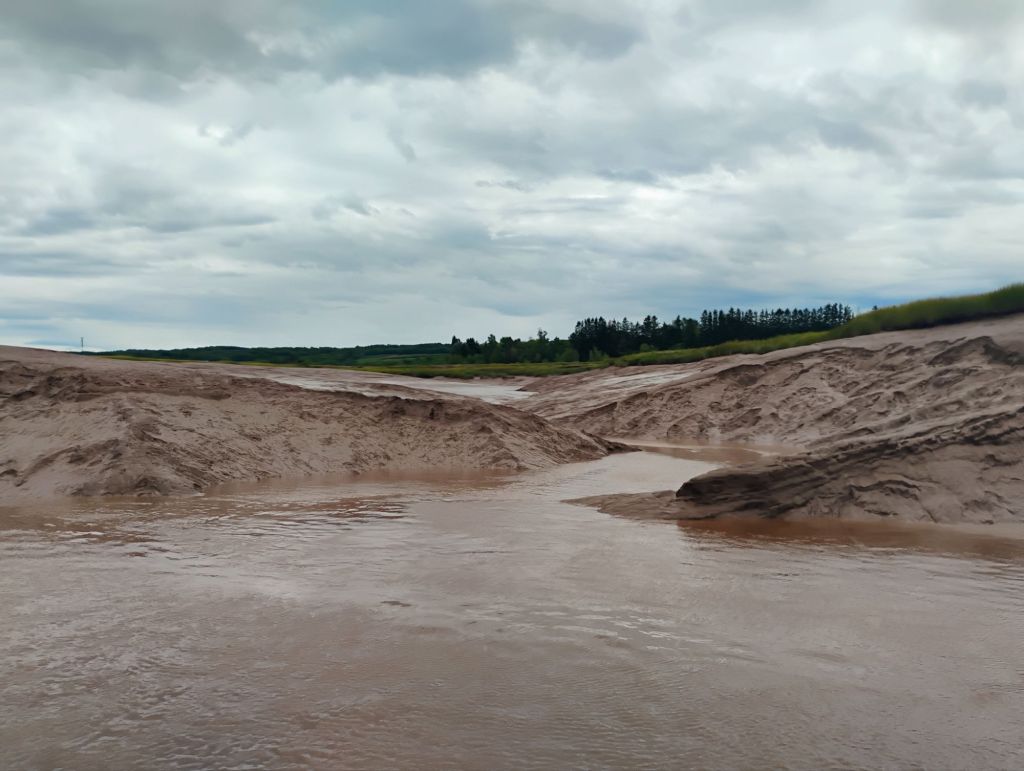
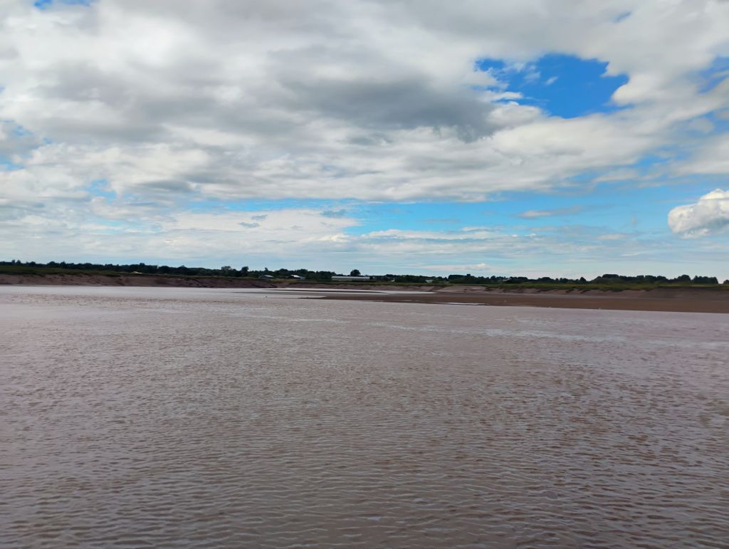
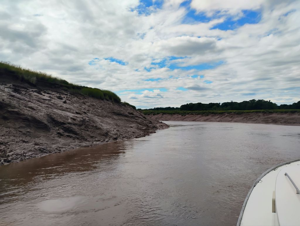
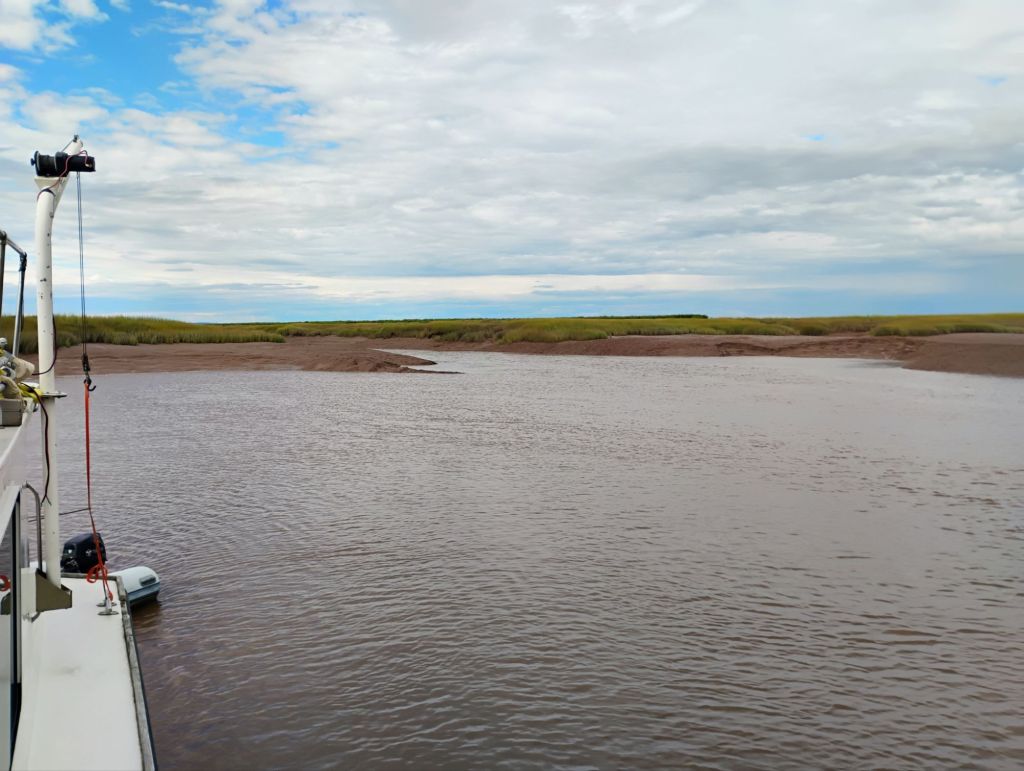
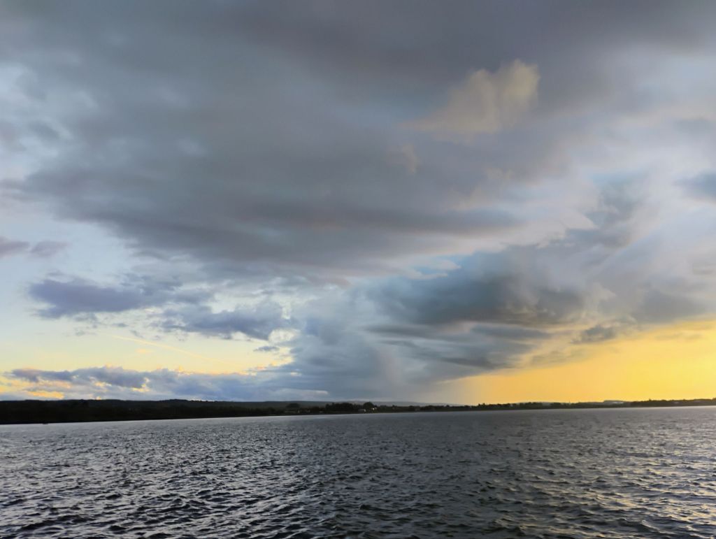
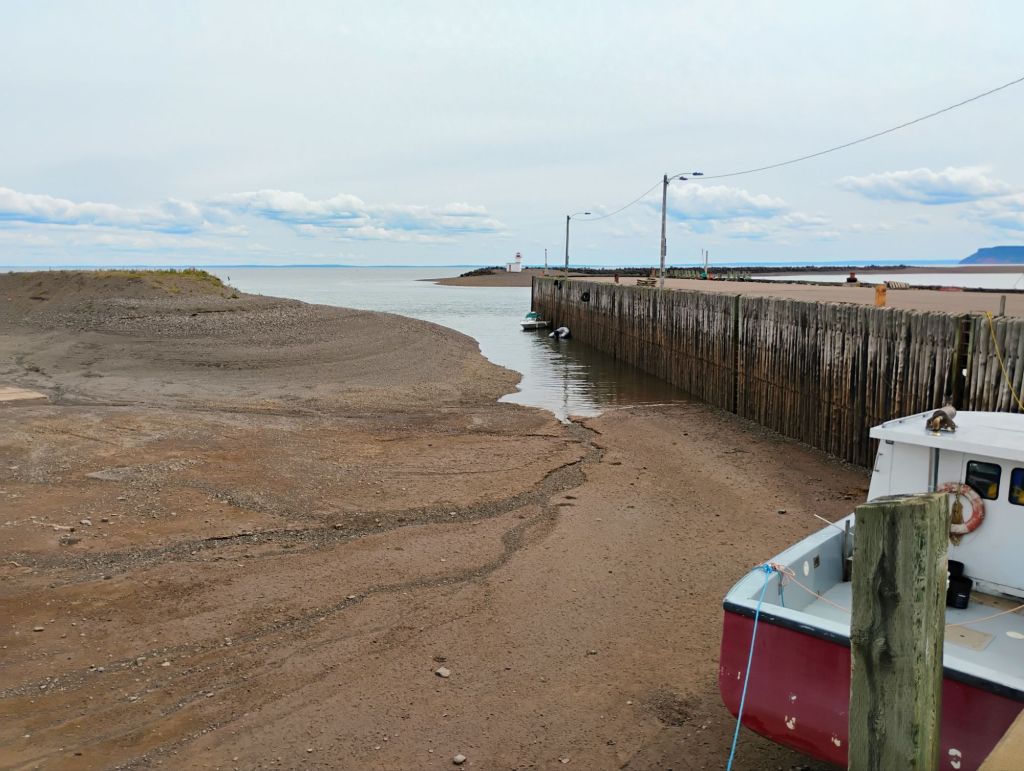
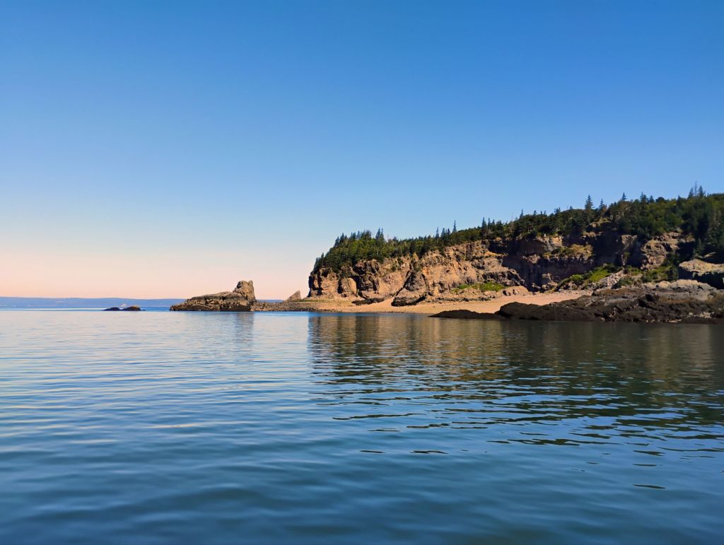
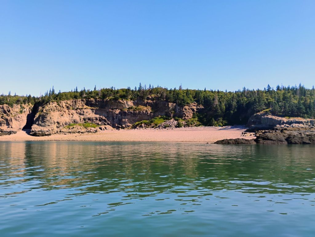
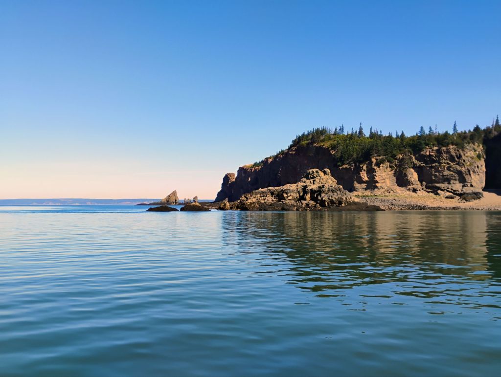
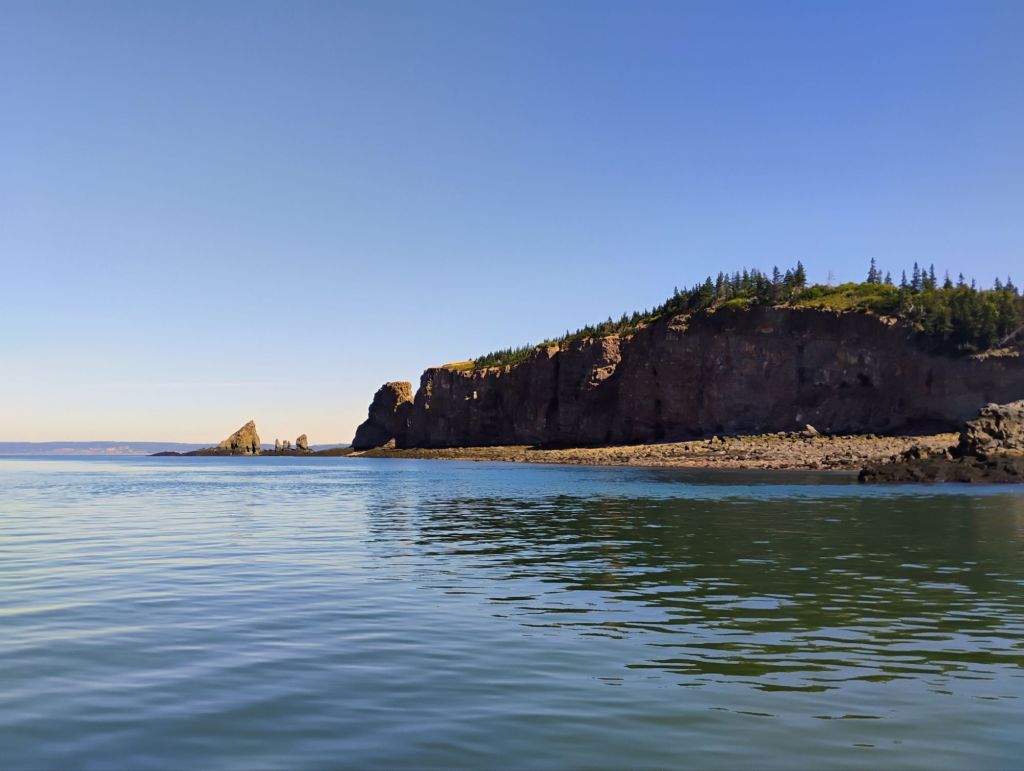
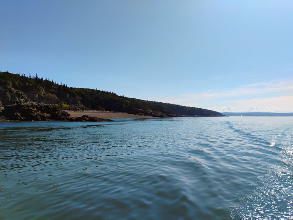
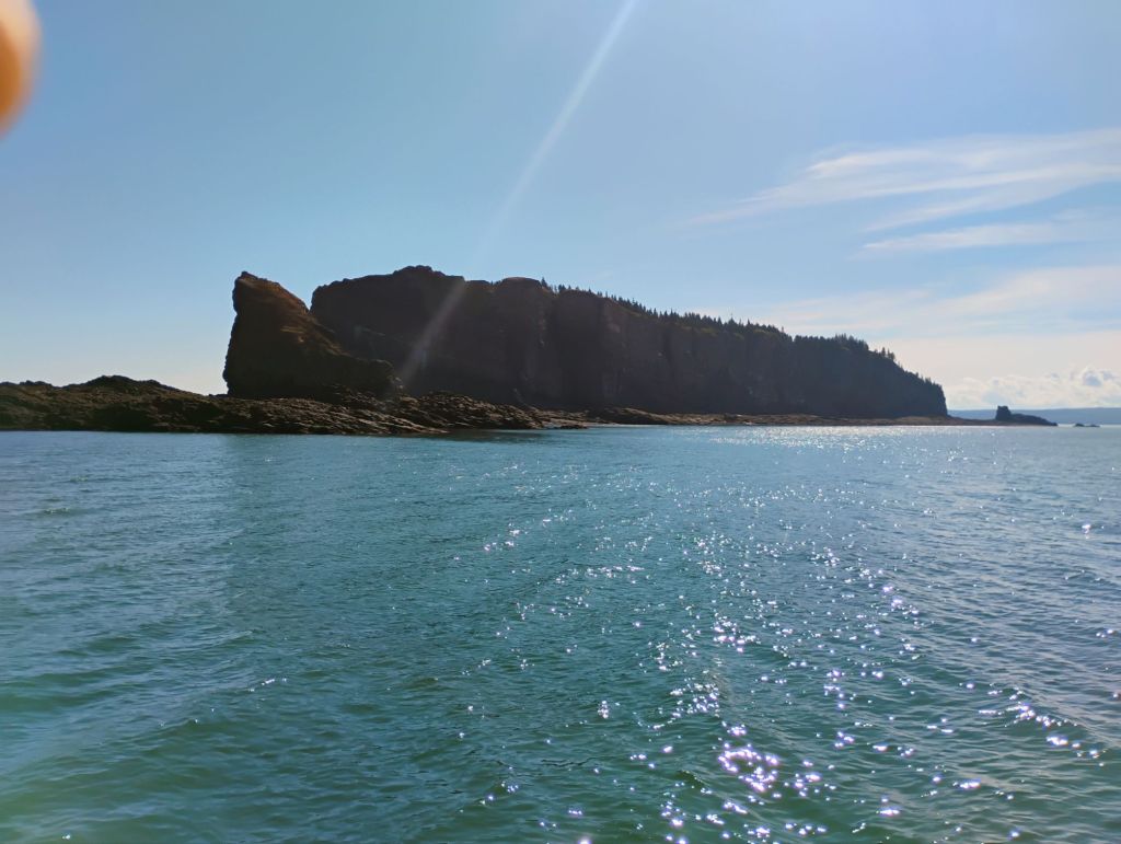
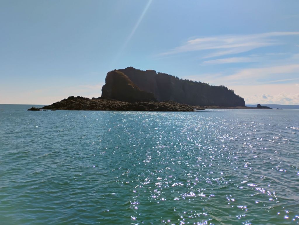
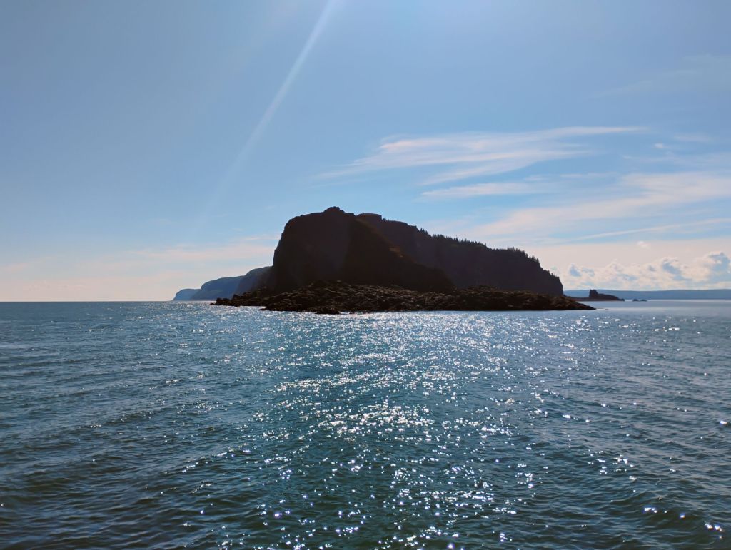
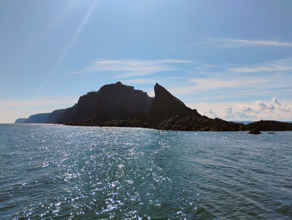
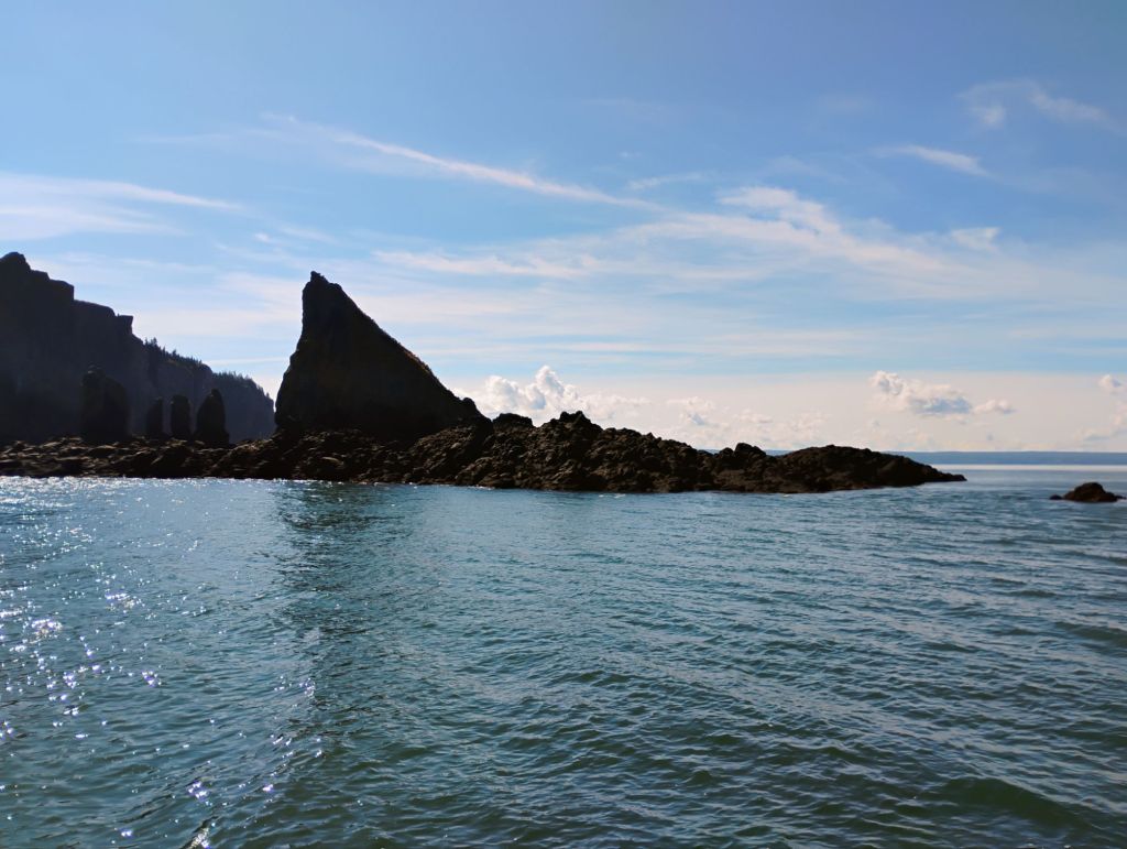
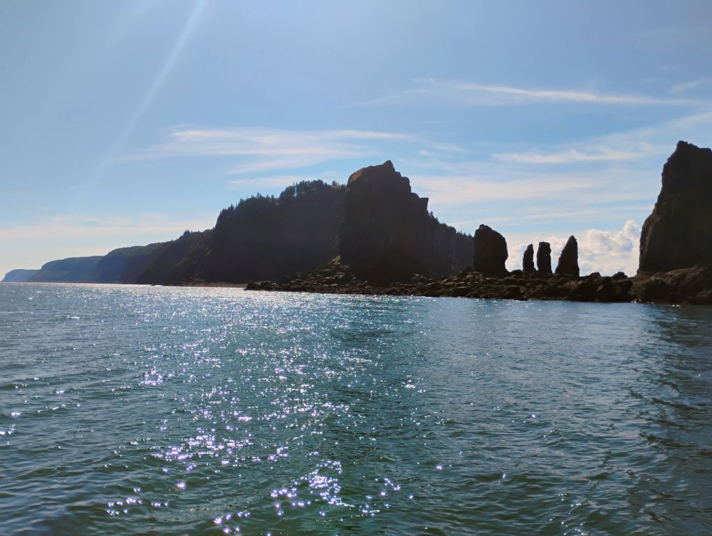
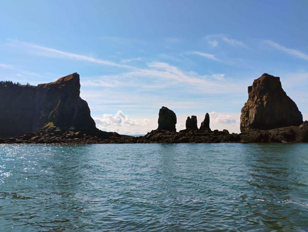
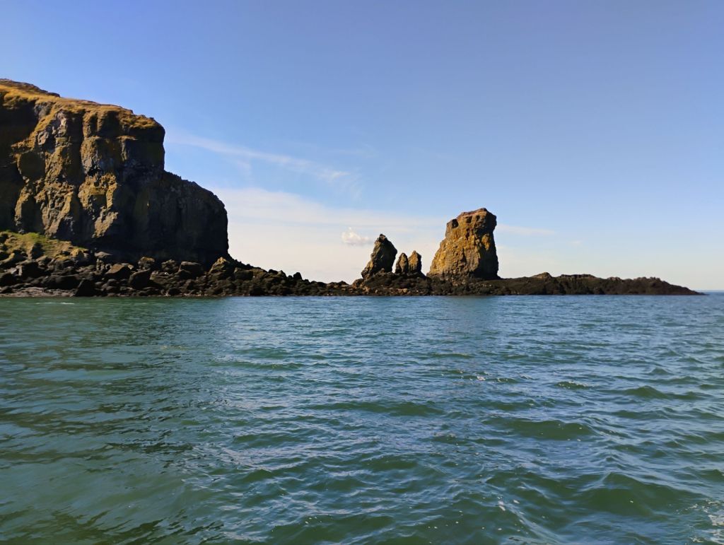
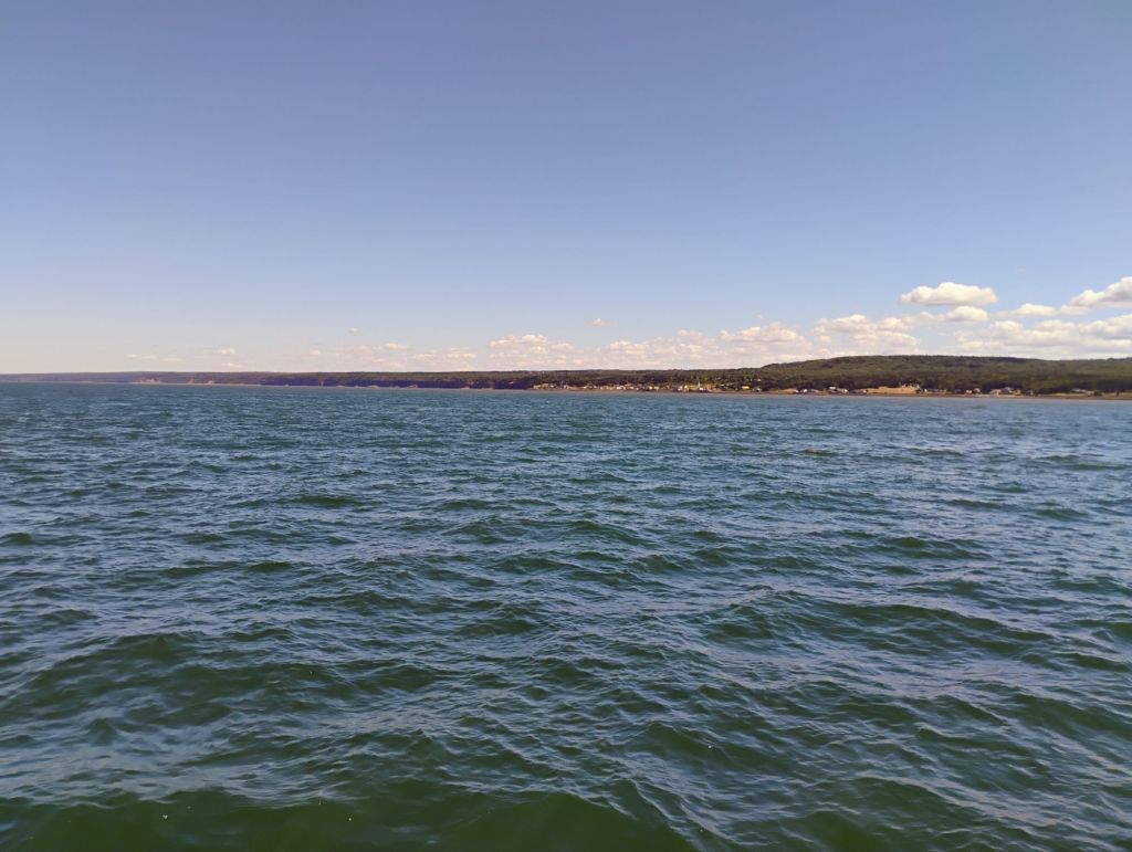
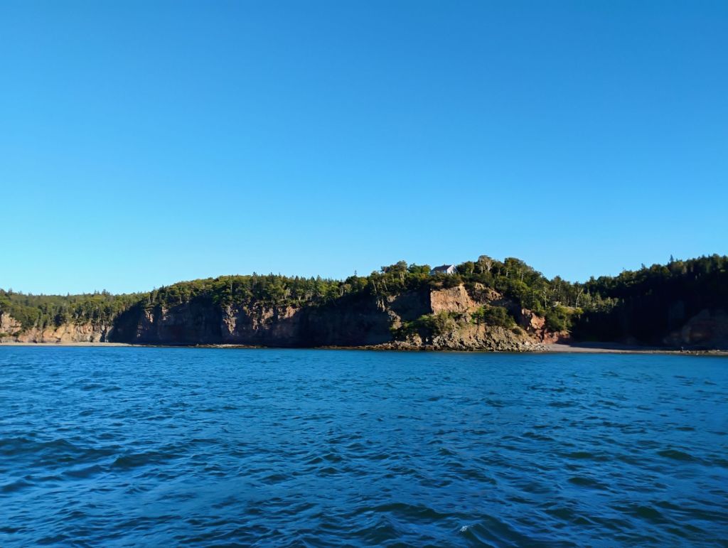
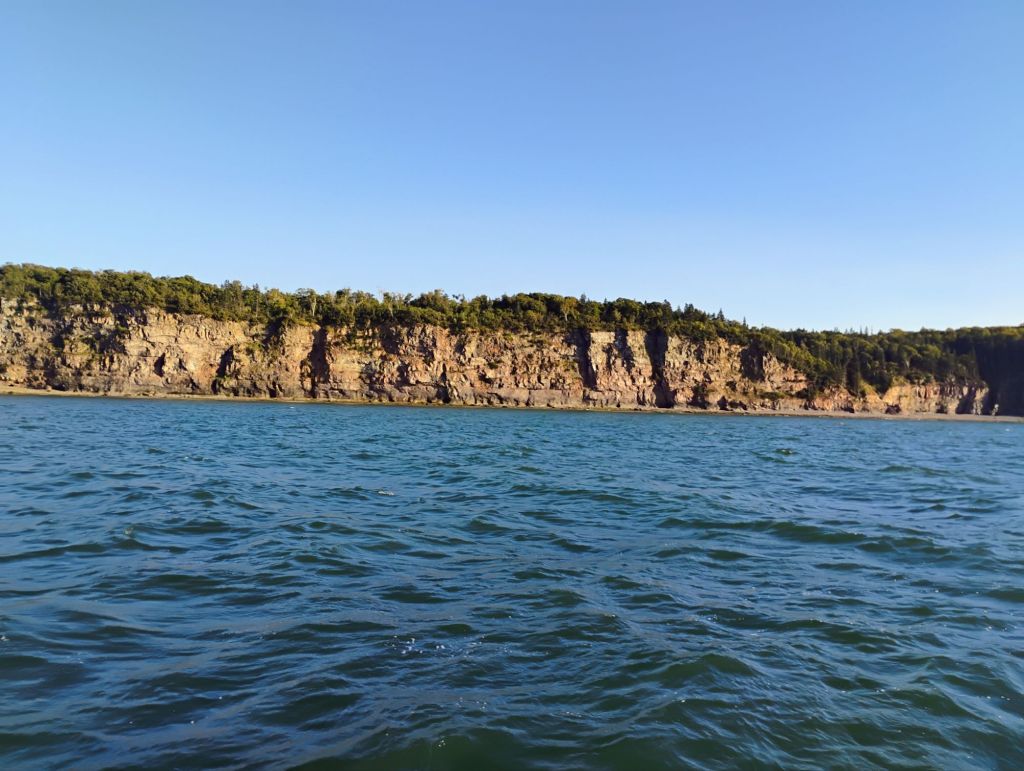
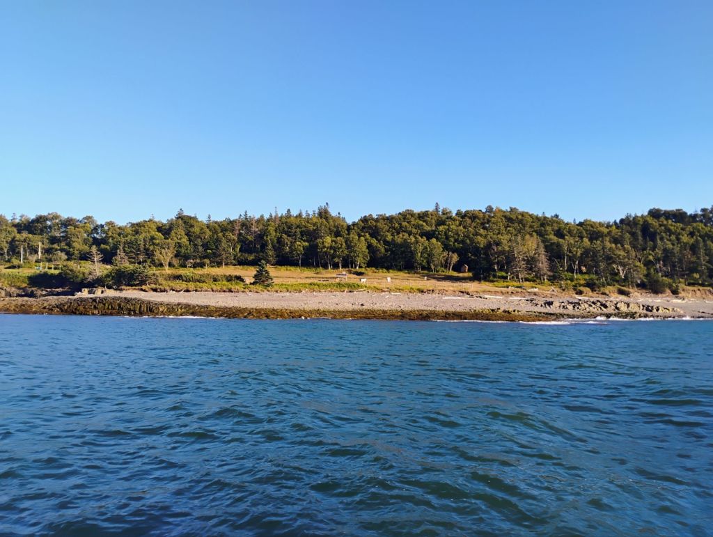
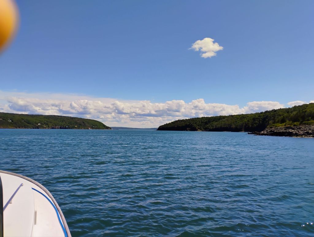
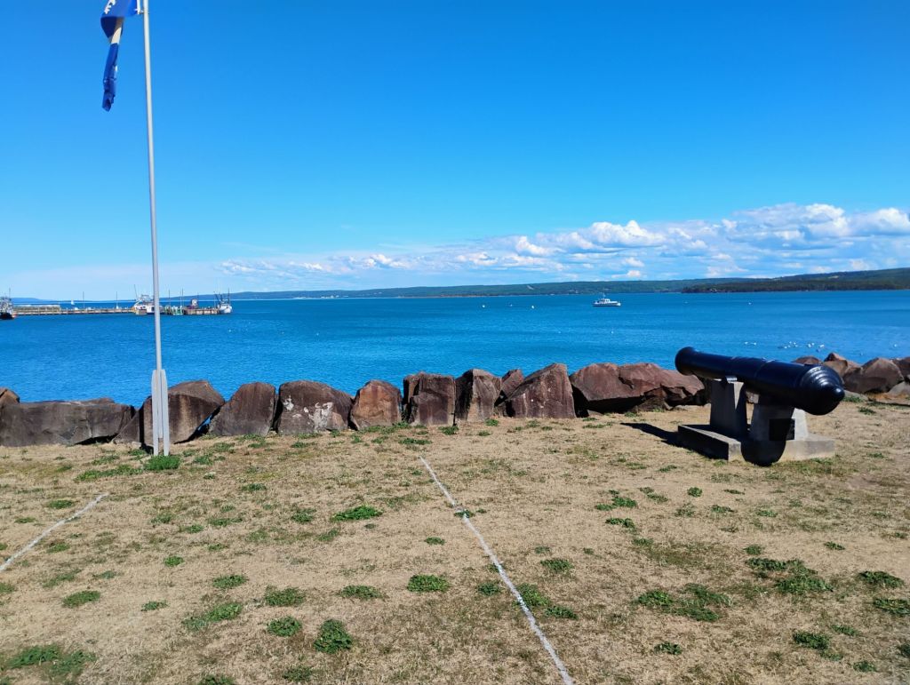
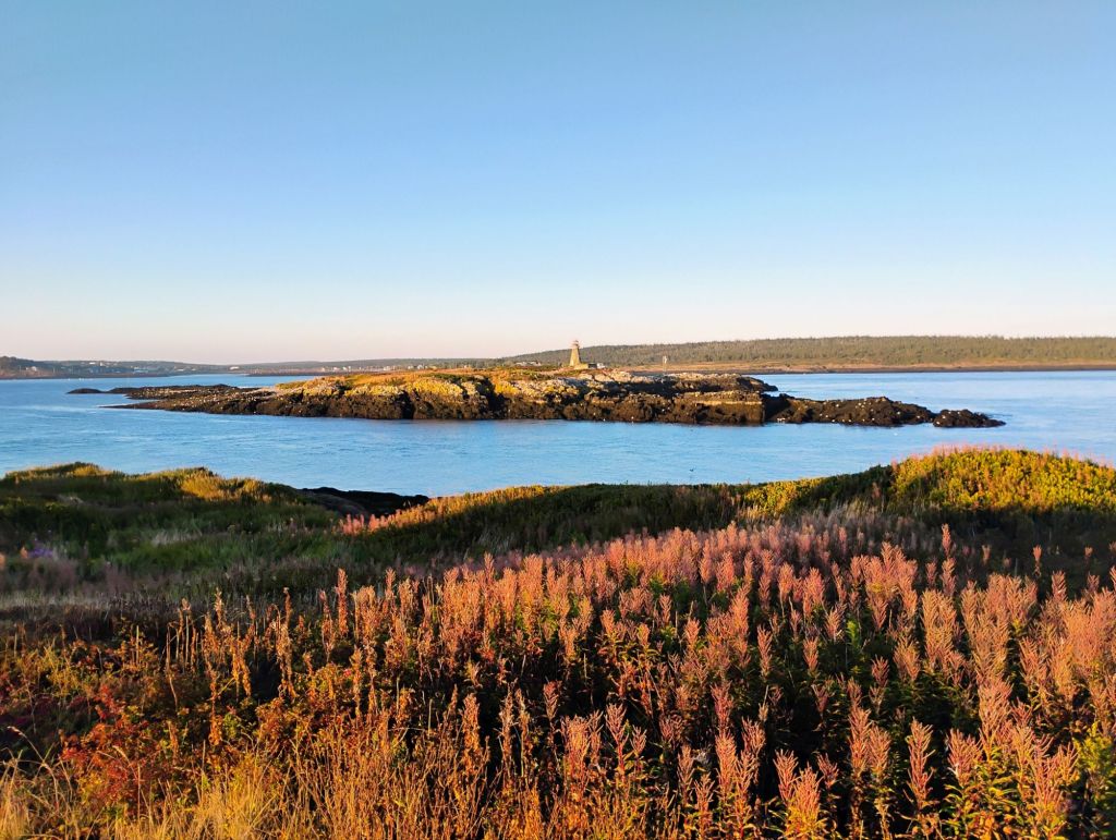
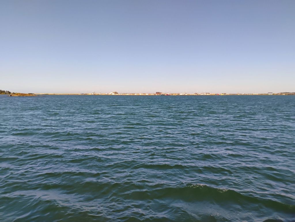
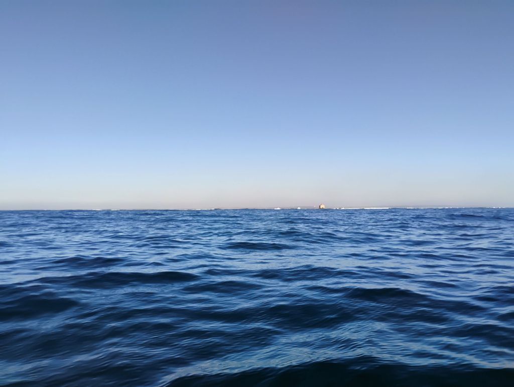
I’m now waiting for the incoming bore due here in about 20 minutes. Will take some videos. Here are photos looking upstream and down at low tide
Yesterday was a lot of fun. I upped anchor and headed in as soon as the current went slack. In hindsight it probably would have been sensible to wait for the water to come up a bit, but I had assumed that there would be a river channel visible at low tide. Not really. I ended up grounding a couple of times trying to get into the Bay. No big deal, as the tide was rising by something like 5 ft/hr.
Wolfville was barely visible over the marsh when I came by. After that it was clearly a river. Smooth sailing up to Port Williams. I had a very strong tail current going under the bridge, and kept going on the twisty river.
Things got a little weird after that. I’ve been replaying the events, and I think I drove down the front of a tidal bore. I was maintaining 4-5 mph boat speed for steerage, butspeed over ground was increasing, and I could see the water dropping ahead of me. Just when I was getting concerned I grounded in the mud. Nothing dramatic, but a full stop, with the stream coming from astern.
I lowered the anchor, and within minutes the boat lifted and swung around. I took a look at my maps and decided I had come far enough, and headed back down river against the current.
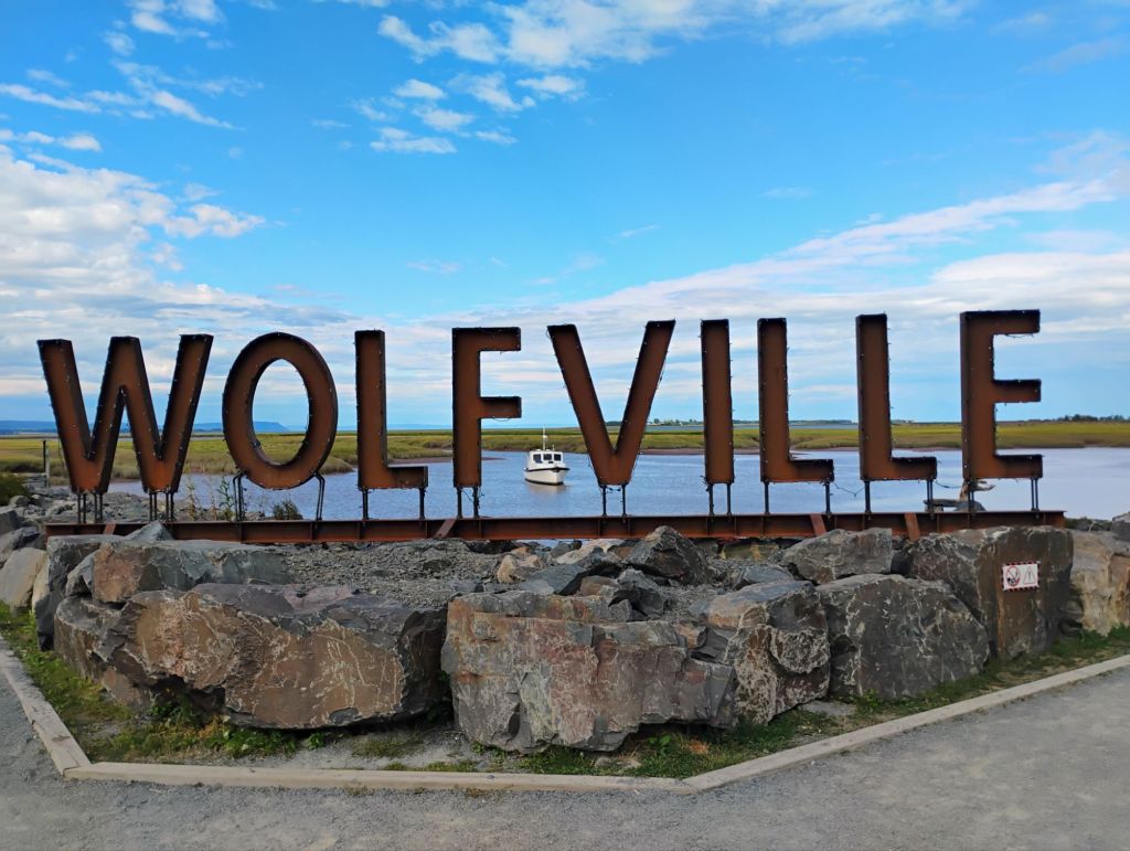
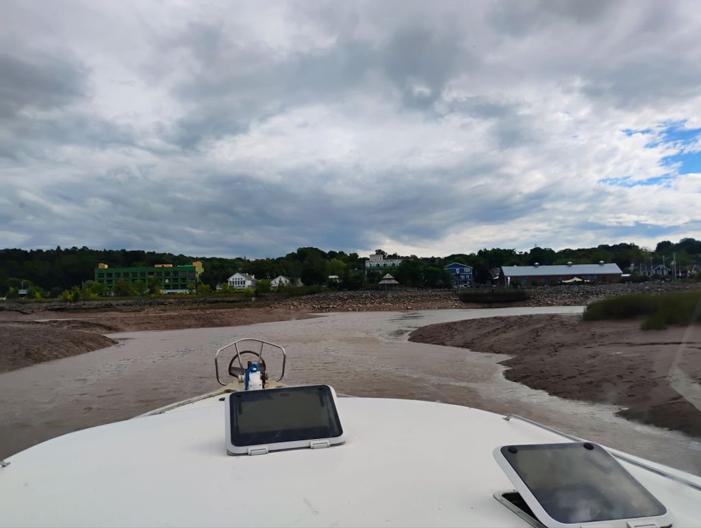
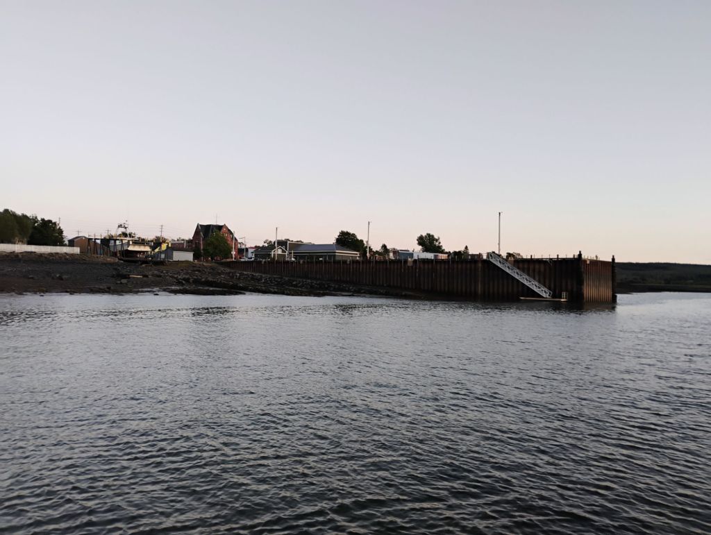
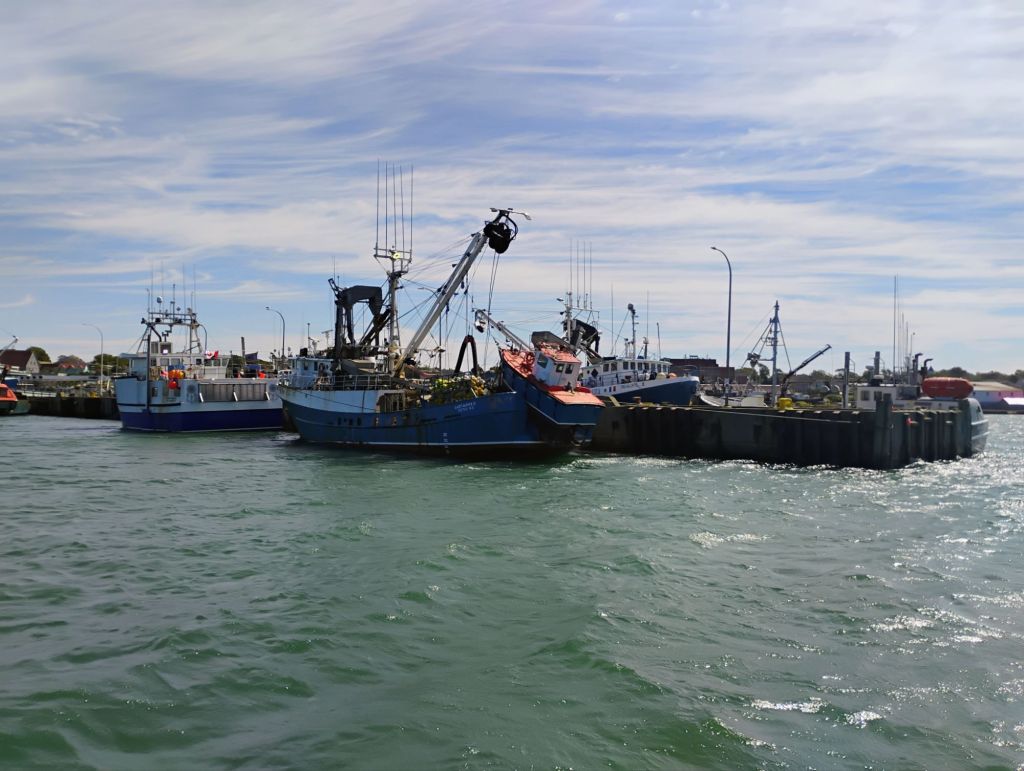
When I got to Wolfville the entrance channel had ten feet of depth, so I followed it in to the town. That was delightful. I anchored in the basin and dinghied into the dock for a meal out and groceries.
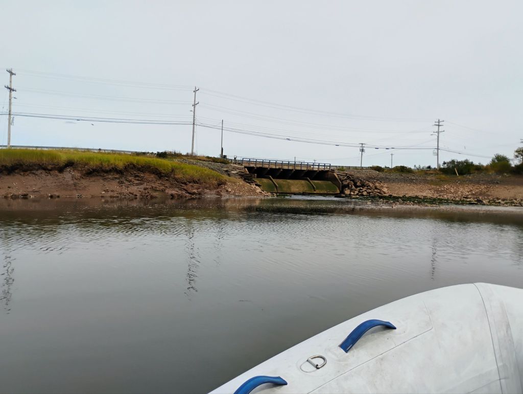
From Wolfville I came out and around to the Avon River, and anchored here last night. This morning I was up early and went for a tour almost up to Windsor, then back out on a falling tide. Not much to see.
I’m anchored here as I write this, waiting for the tide to change. Today I’m heading into the basin, with a plan to anchor in Maitland for a day or two to explore the Salmon and Shubenacadie rivers.
Weather continues to be very cooperative. Most of the province is under severe drought conditions, and there is a large wildfire nearby that’s been burning most of the summer. I saw lots of smoke from it for the first time yesterday.
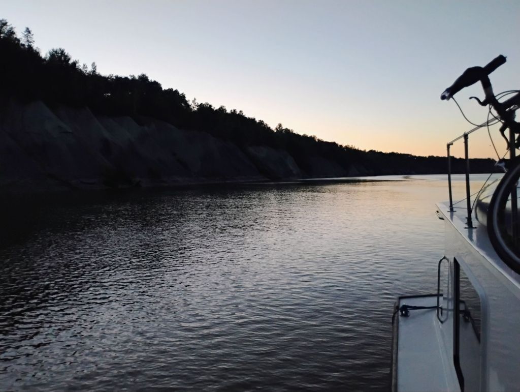
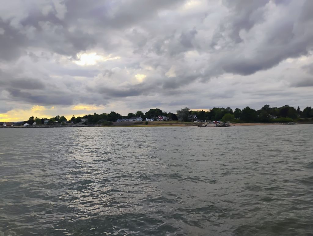
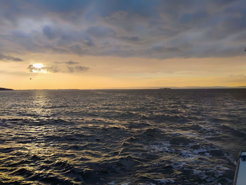
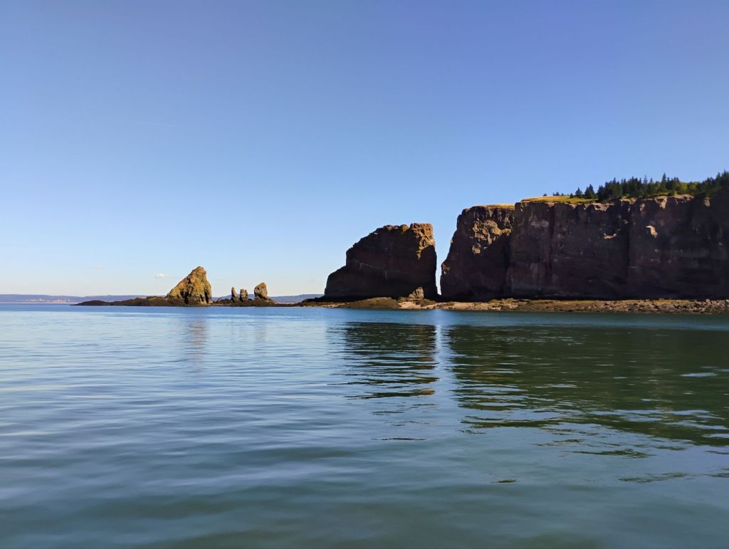
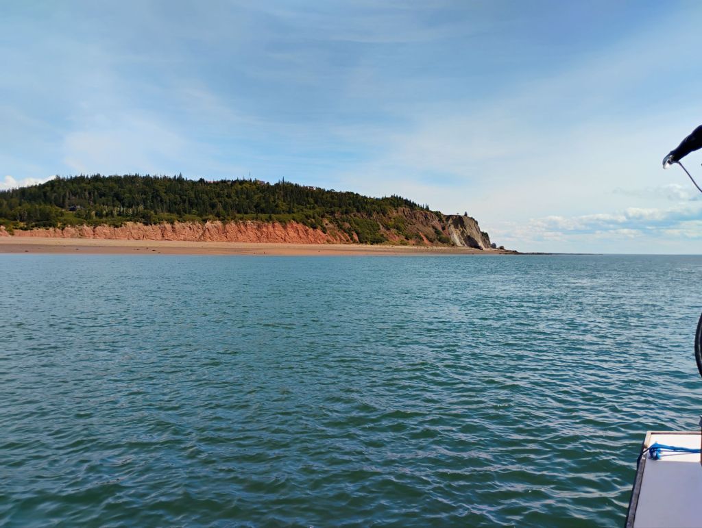
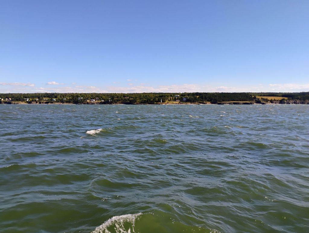
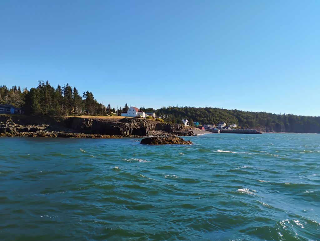
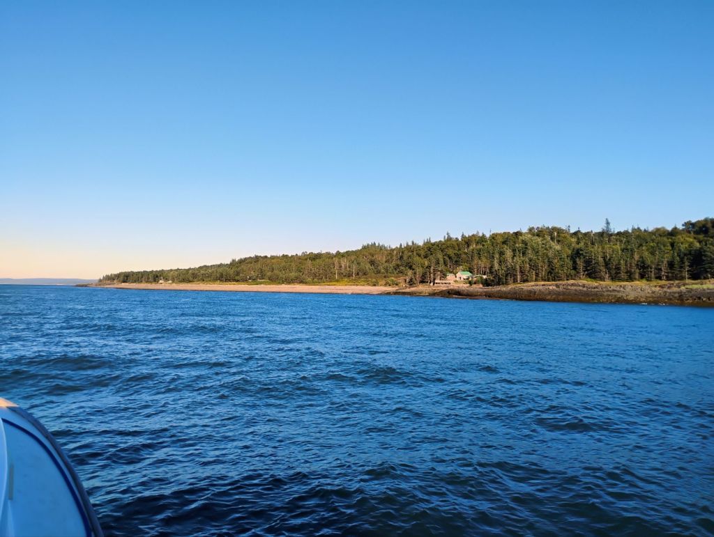
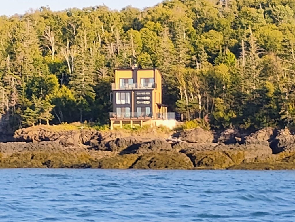
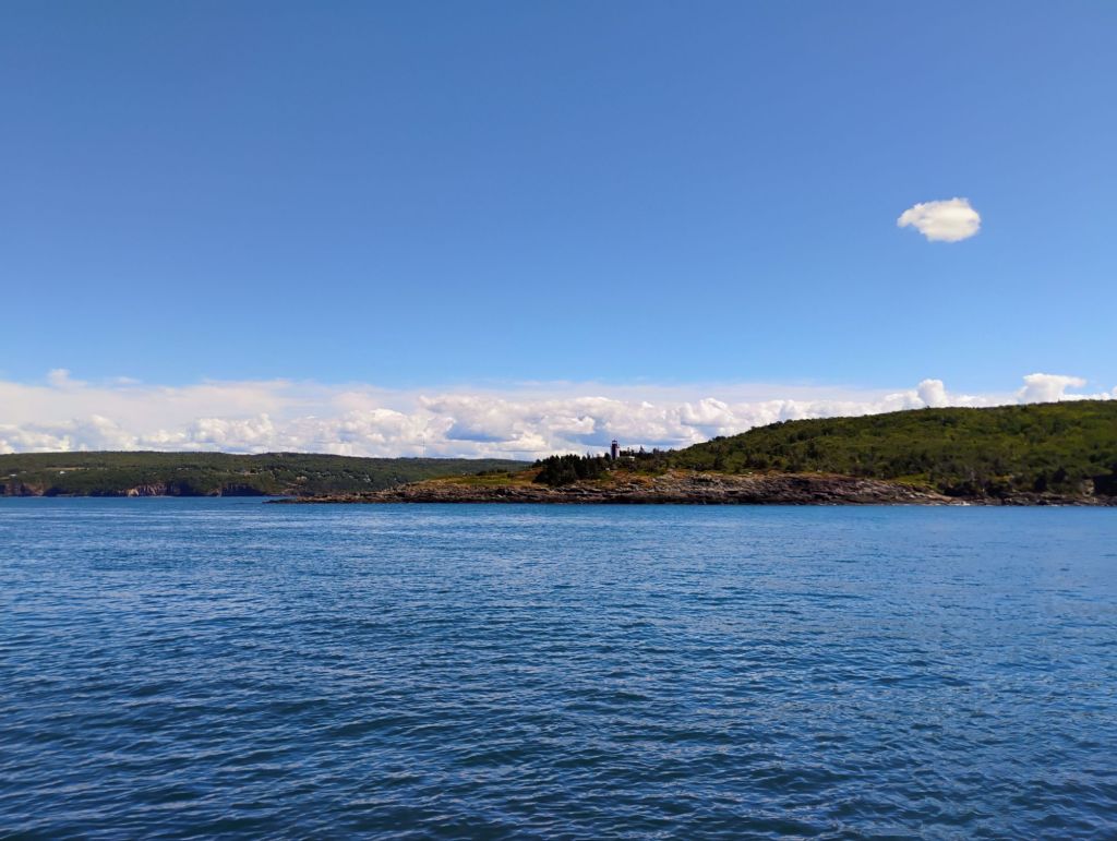
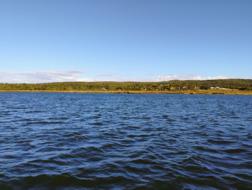
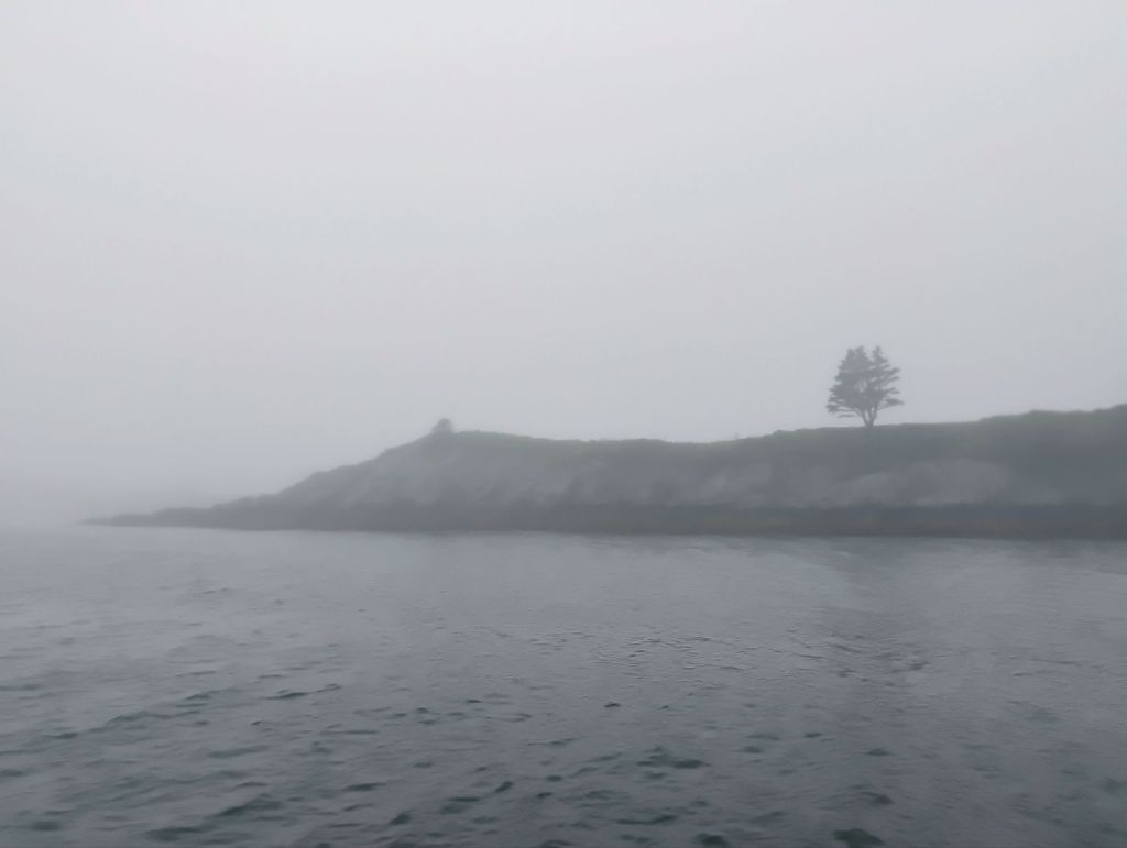
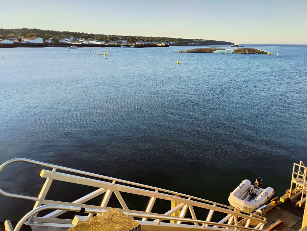
This is my view this morning as I wait for the tide to change at 1230. I’m anchored here near Wolfville. Sunny and calm. Parrsboro is beyond the bluff.
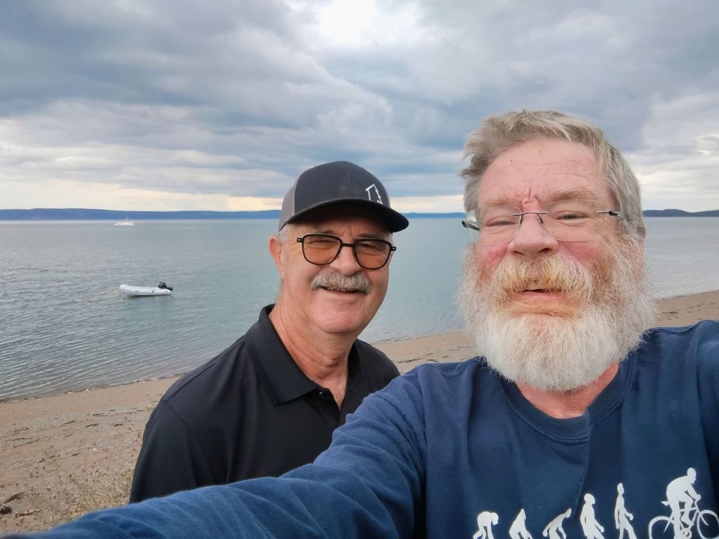
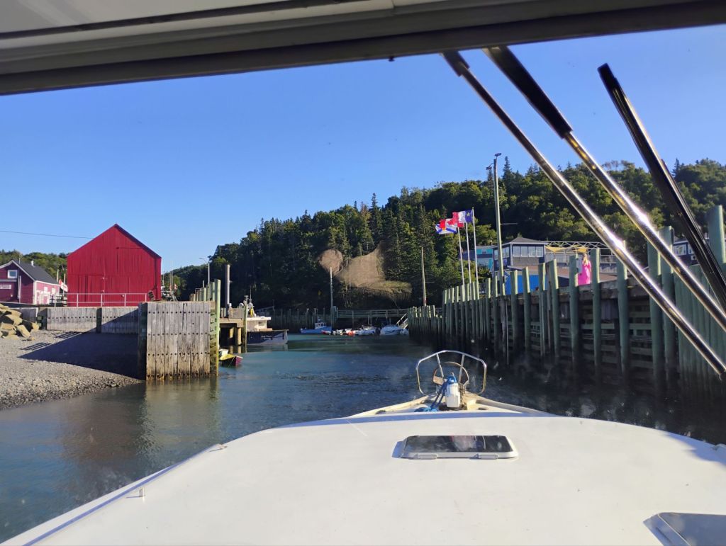
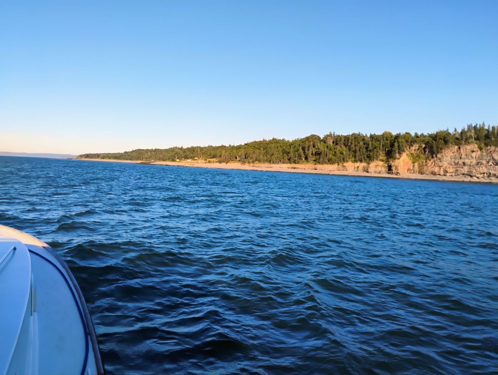
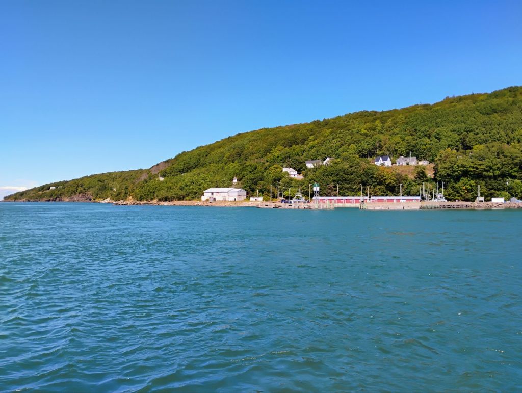
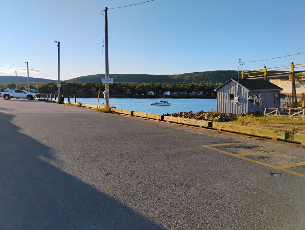
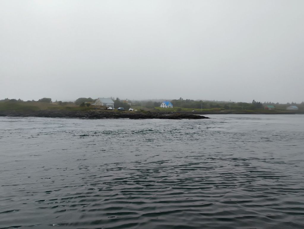
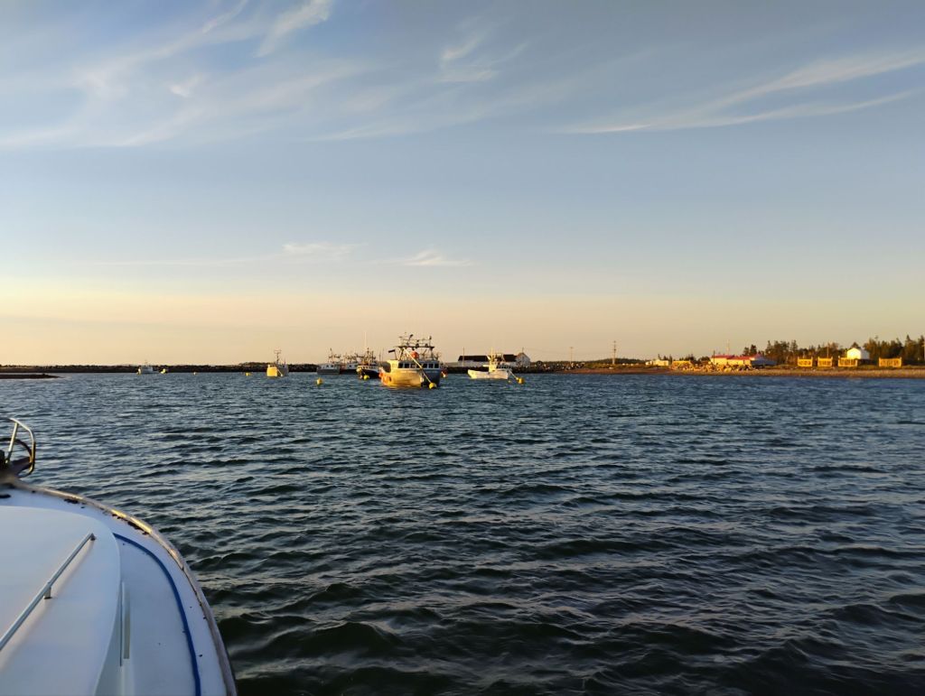
I got ashore briefly in Parrsboro, and had a visit with Eric and Rosalie who are camping there this weekend. I was planning to stay last night, but at high tide it was very uncomfortable. Even small waves can get really nasty when the current is flowing. So I upped anchor about an hour before dusk and headed over here.
I anchored farther out last night, then came in on a falling tide this morning. This is as far as I could come without danger of being stranded at low tide. I’ll have about 2 ft of water under me when the tide changes in about an hour.
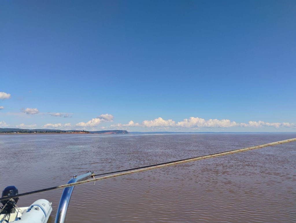
My plan is to travel on the incoming tide as far as I can upstream. Should be fun. There’s a bridge at Port Williams that may stop me. Tidal range here today is about 30 ft.
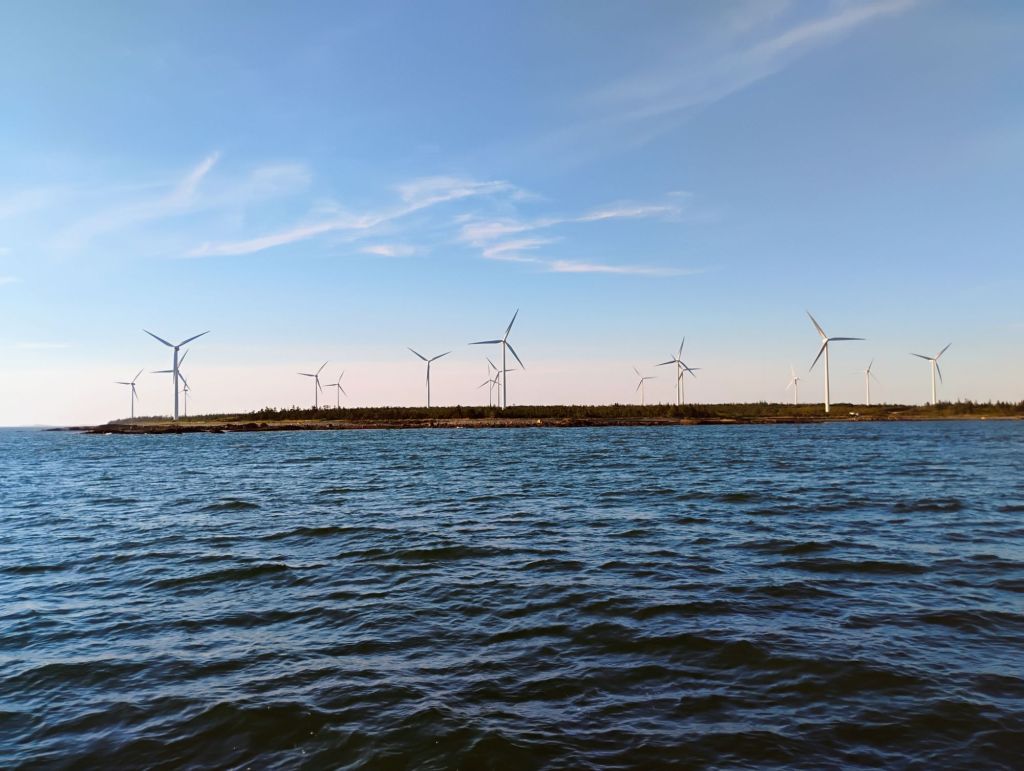
I grew up in Halifax but never spent significant time in this area. I have a much firmer grasp on the geography now. Sitting here I can look into the valley, with the north mountain as a distinct feature. In the early days access by water would have been through here or the Annapolis Basin.
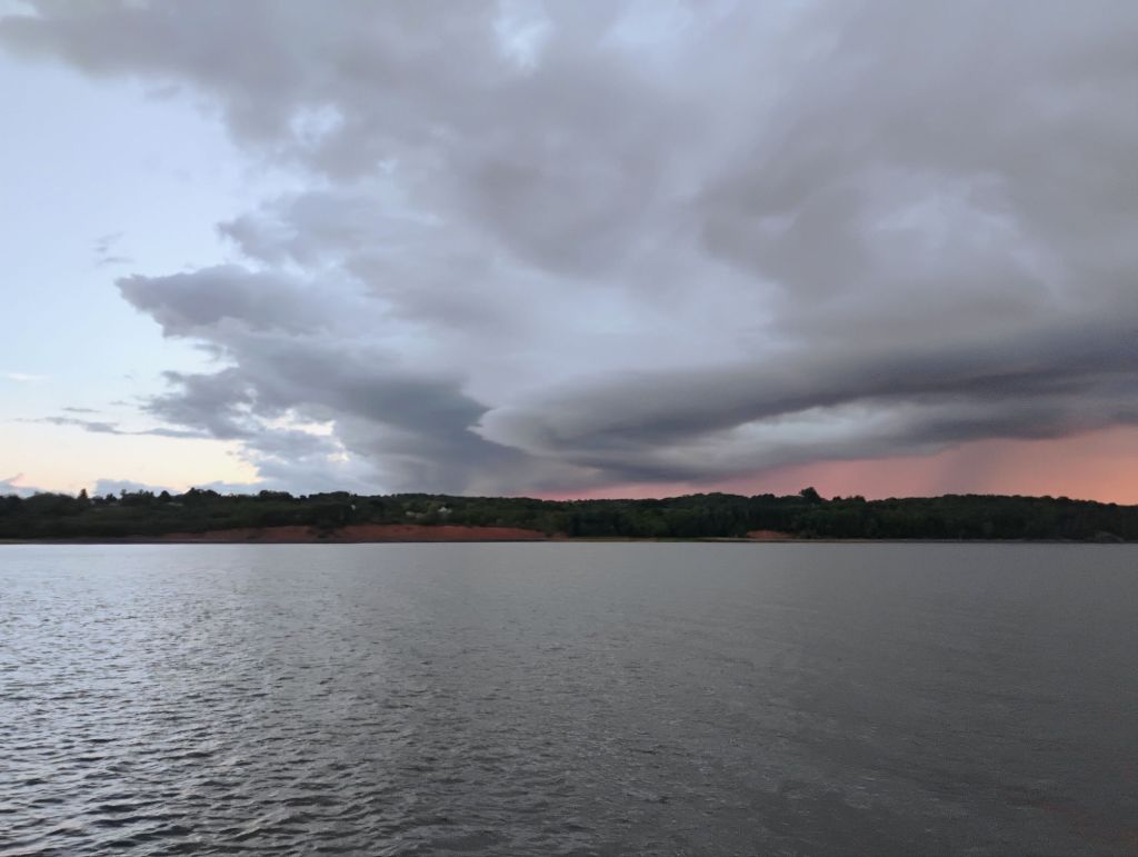
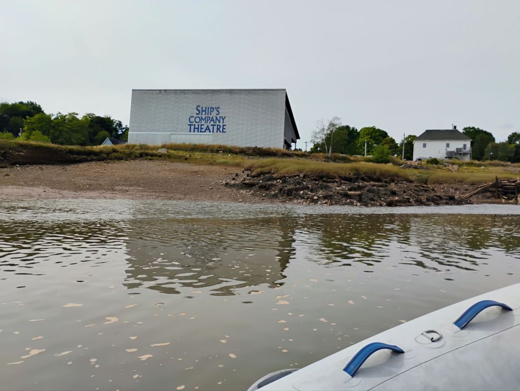
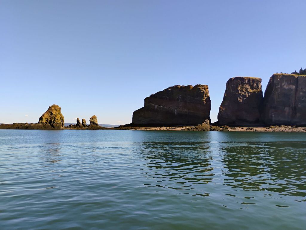
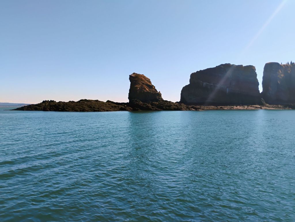
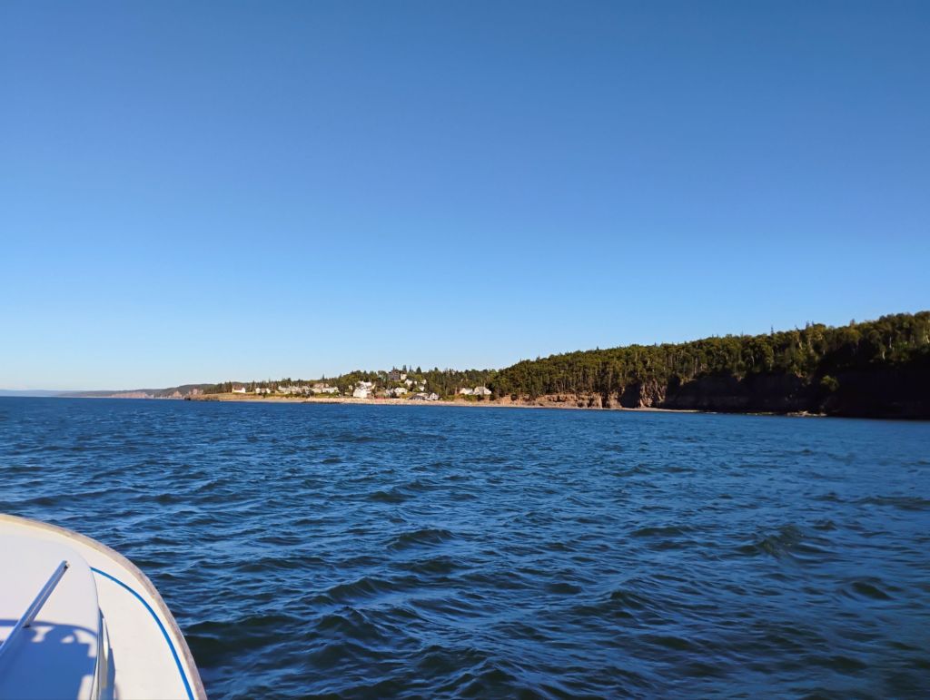
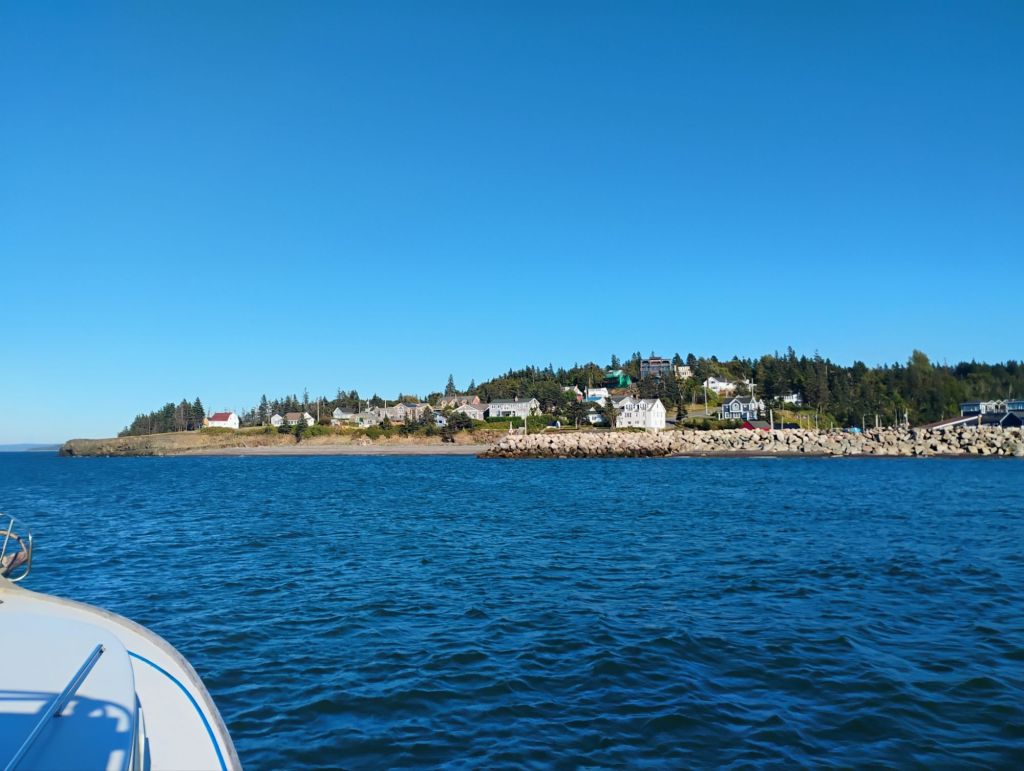
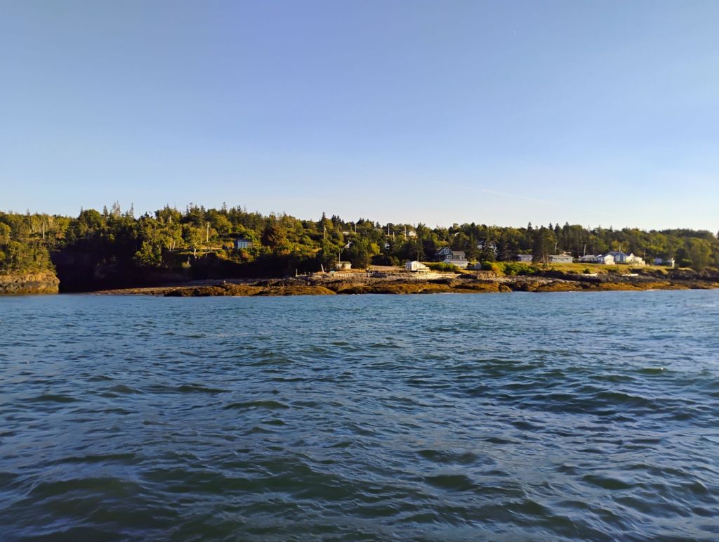
Pics from yesterday. I have some history with Parrsboro, having vacationed there lots as a kid with my family. It’s very cool for me to visit by boat. I remember when the Kipawo was returned and became the Ship’s Company Theatre. That was the last boat to do ferry service between Wolfville, Kingsport, and Parrsboro.
The forecast shows no more than 10 knots of wind over the next week, so my plan is to do a circumnavigation of Minas Basin, and explore the major rivers as much as possible.
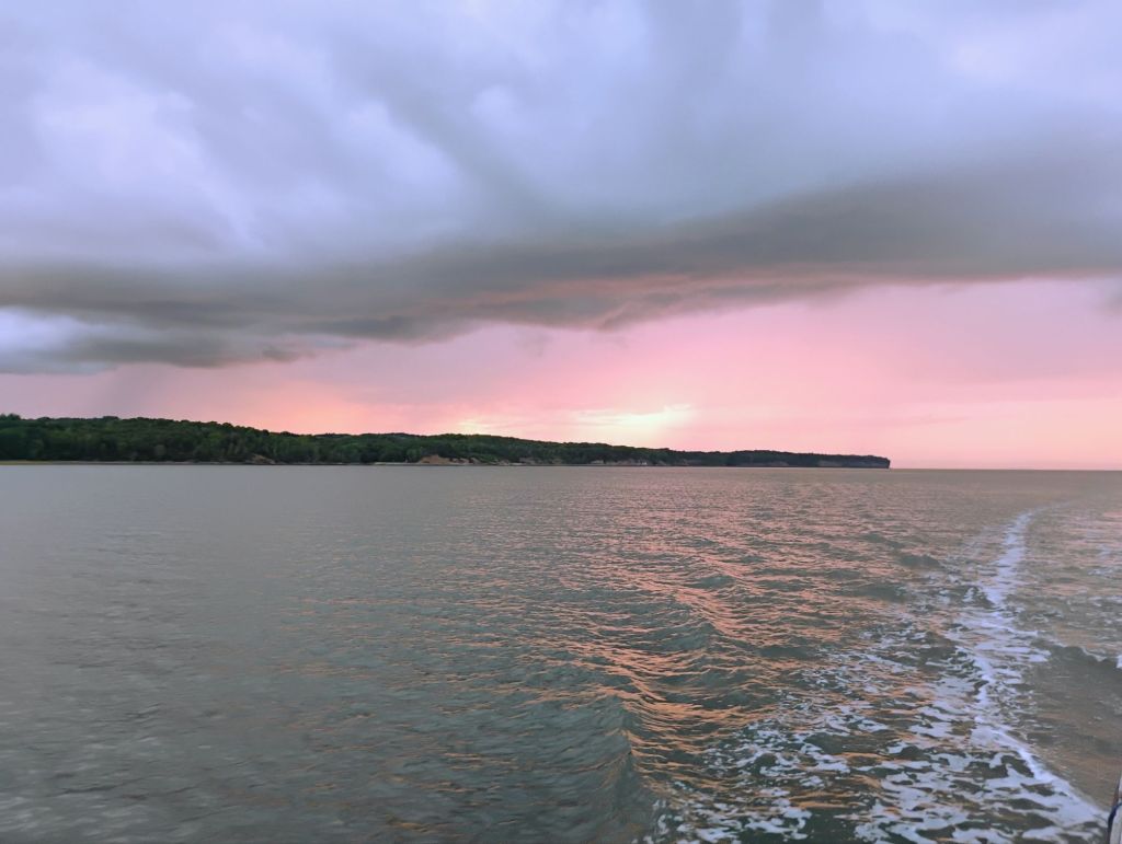
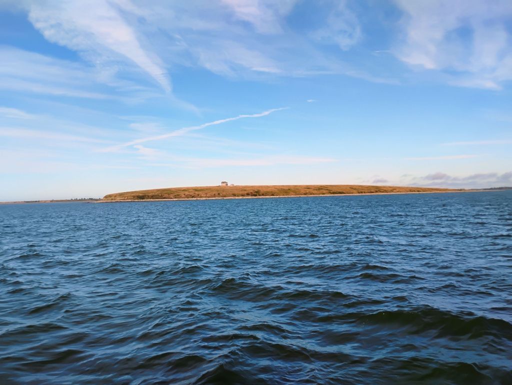
Anchored off Green Hill
This morning I was brewing coffee when I got a radio call from someone overlooking the Bay offering shore side support if I needed it. Nice way to start the day.
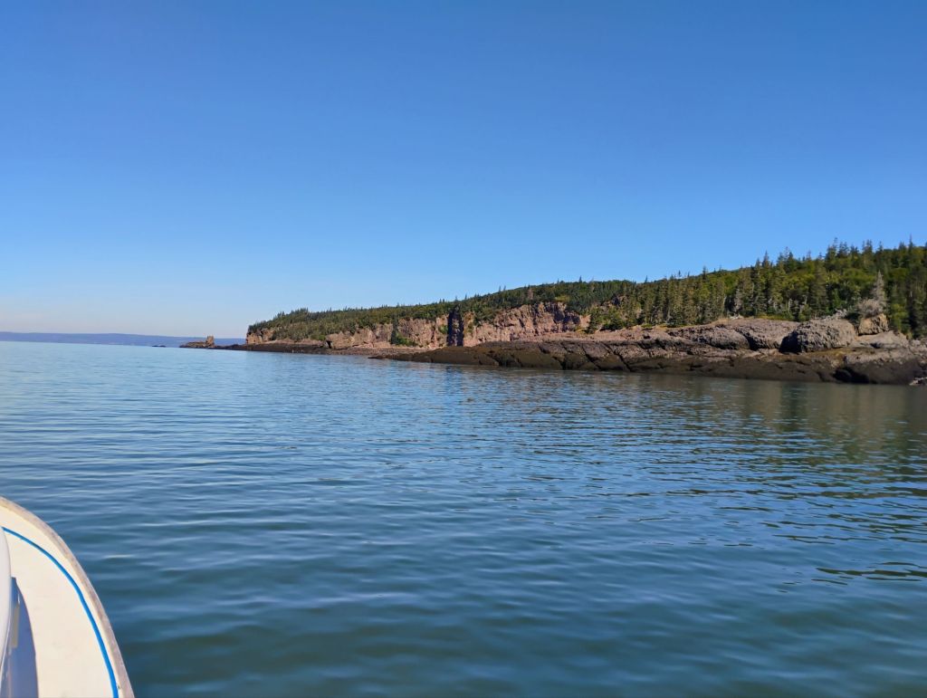
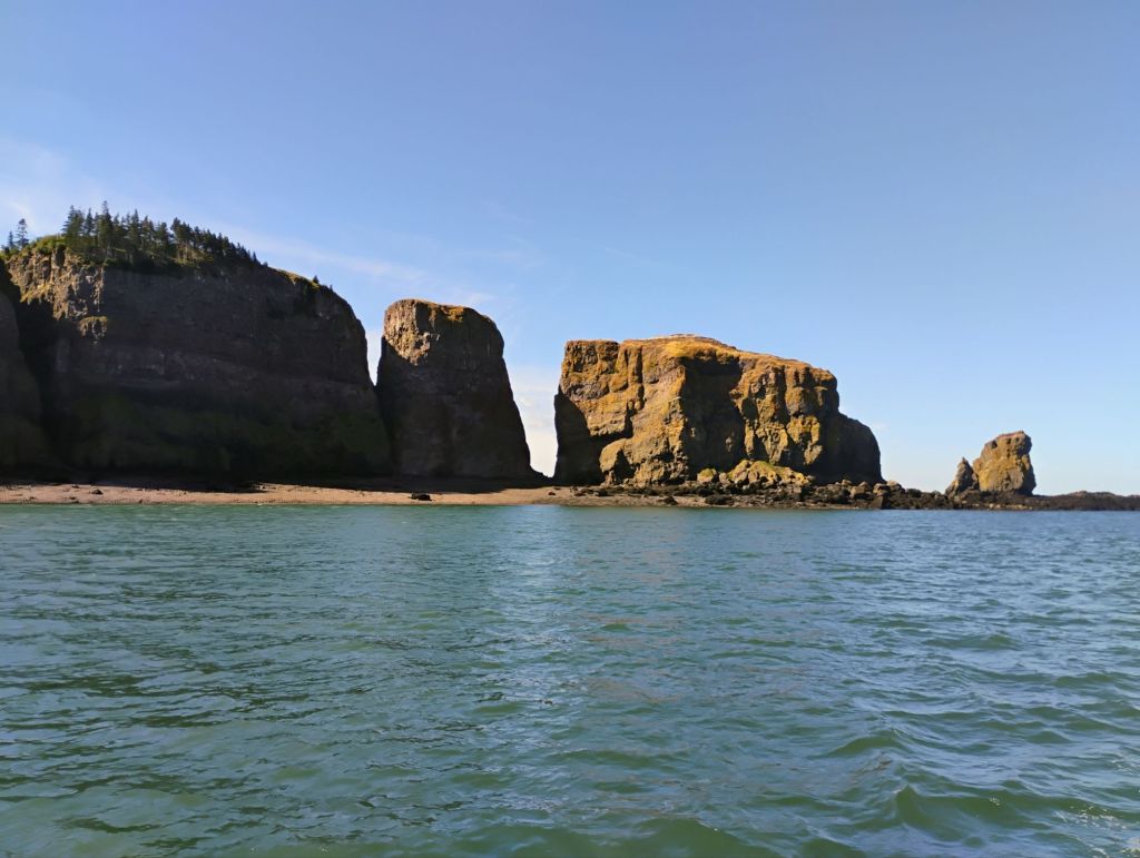
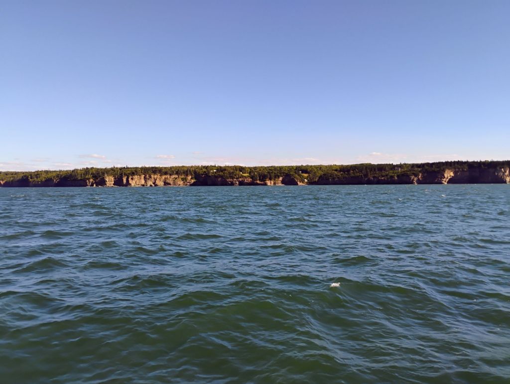
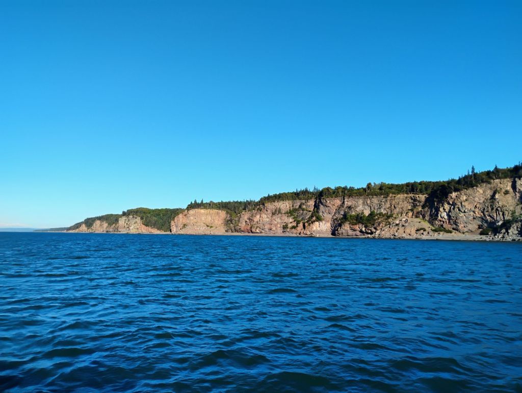
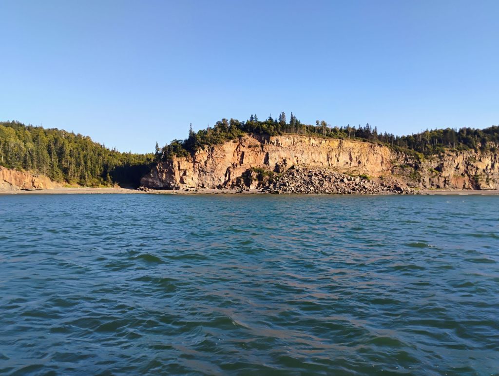
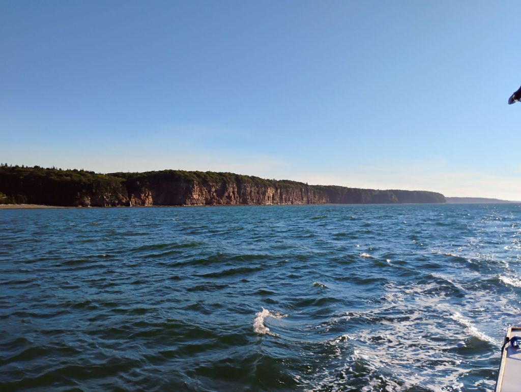
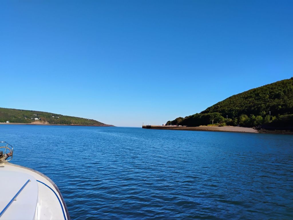
I went around Cape Split about 1/2 hour before low tide. No significant currents. A lot of friends have hiked this area. It’s quite spectacular, and I’m sure when the tides are ripping it’s even more so. Maybe I’ll be more adventurous on the way out.
I’m anchored here, and will stay for a day or two. Tidal range here today is about 28 ft.
Yesterday was a perfect travel day. Sunny, calm and cool. I had planned to leave around 9:00 to time the tides, but someone in a small boat came by around 8:00 and woke me up. They had concerns about my anchor and their water lines for the onshore lobster pound. I raised my anchor while they stood by to assist in case I was snagged. No issues, but I left ahead of schedule.
There were four boats doing whale watching tours, and I watched them on AIS after arriving. They were clearly seeing whales, and disembarking passengers were very happy with the experience. I headed out to that area, but didn’t see anything. After I turned down towards Digby I watched them come out behind me and stop a few miles behind me. I never did see any whales the whole trip down.
I arrived at Digby Neck at high tide, and went ashore in Digby, then up to Annapolis Royal, where I spent the night. Nice spot. This morning I was underway at 0730 to catch slack low tide out. The tidal range in Digby is about 20 ft today.
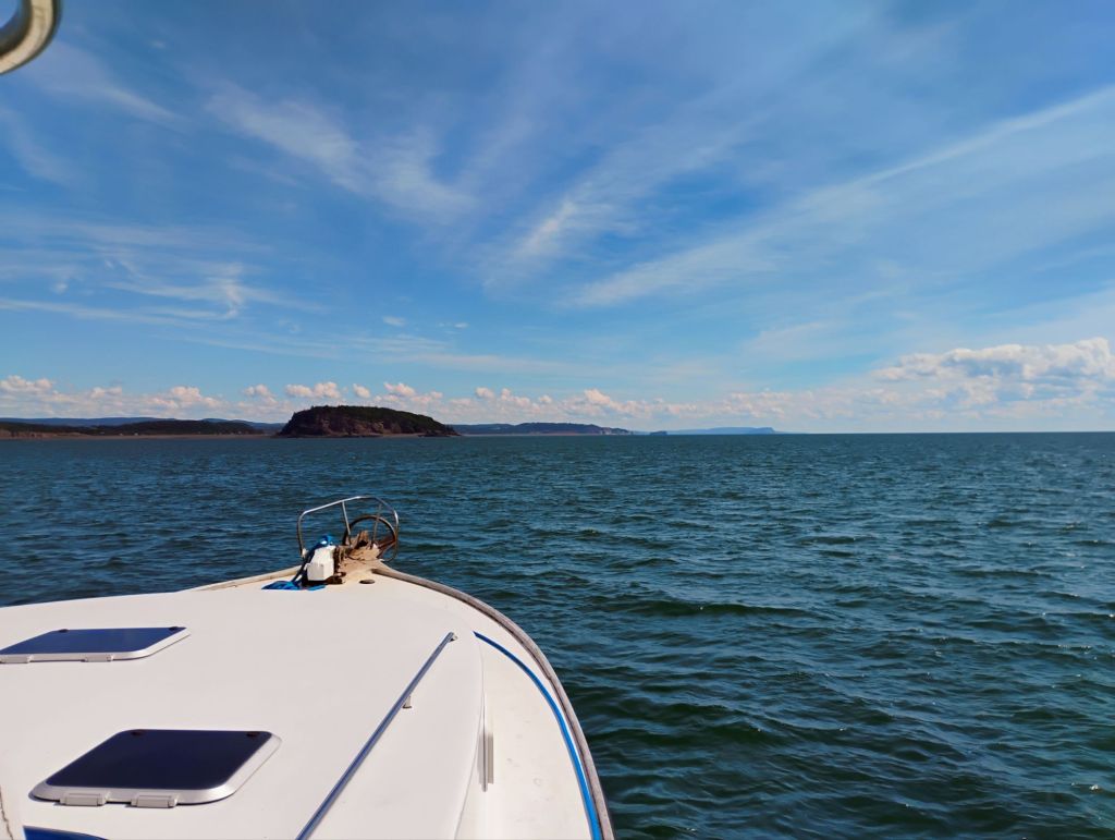
Today I’m following the north shore of NS towards the Minas Basin for as long as the tail current holds. It’s giving me an extra 2 mph right now, and will turn in 4-5 hours. The basic plan is to travel on the incoming tide for about 7 hours, stop for 17, and repeat. Coming back towards St John will be travelling on the ebb tide. Weather looks completely suitable for continuing on.
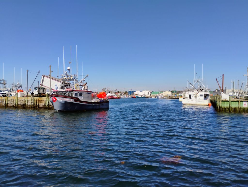
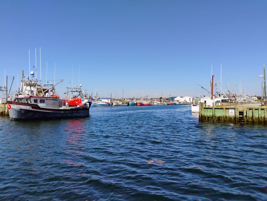
This morning I filled up with fuel and water and left Yarmouth on a favourable tide. Foggy with calm seas. As planned we arrived here at slack tide. Tomorrow we’ll do something similar to hop down the shore to Digby.
Fuel stats: 513 litres since Port Hawksbury, 702 miles/89 hrs.
I’ll get ashore and wander around today. Waiting for the sun to break through.
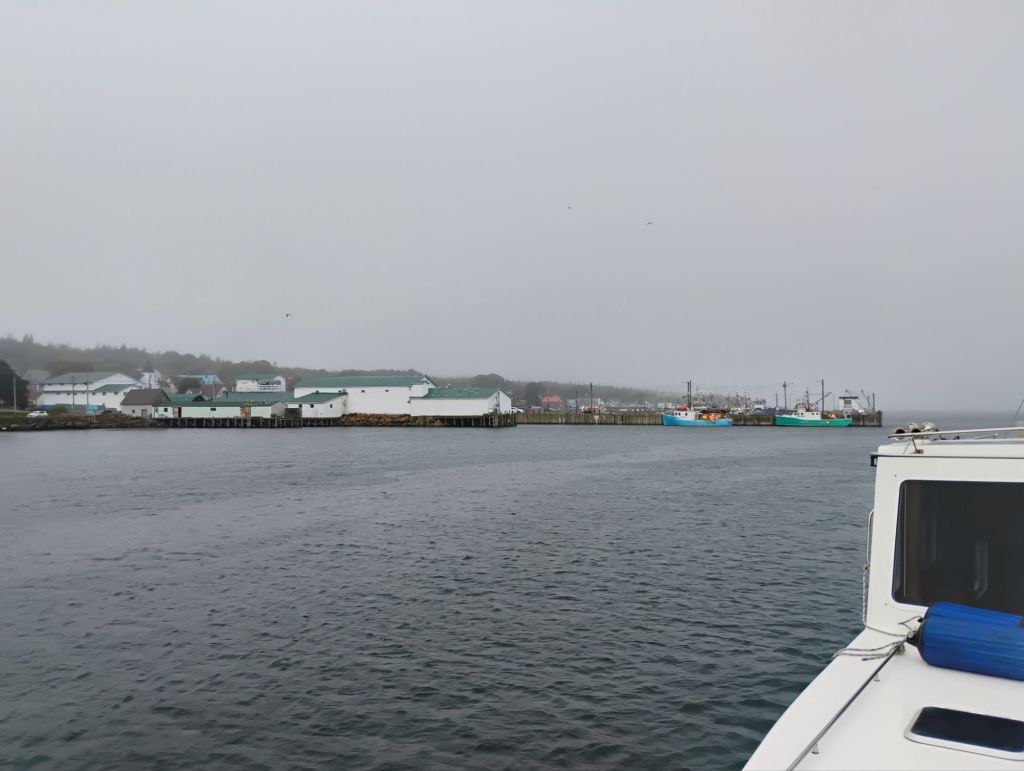
As planned I got ashore in the evening. It’s very picturesque here. Big tides, lots of birds. There are several whale watching tours operating. Maybe I’ll see some tomorrow.
I’m anchored here in Yarmouth Harbour. Got here about noon on a favourable current. South winds and rain tomorrow night in the forecast, then benign weather through the next week.
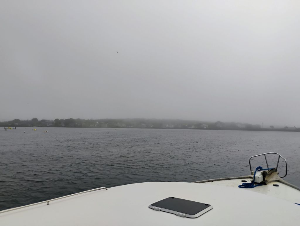
I briefly thought I’d have to clean salt off the windshield when I got a little splash today going through a tidal rip. But with rain forecast I think I can put it off a little longer. It really has been smooth sailing.
The tidal range is getting bigger. About 12 feet here today. I came in at high tide and anchored in a 15 knot wind blowing down the harbour. Now the boat is sailing around on the anchor, with wind fighting outgoing current. It’ll look different here at low tide.
My plans have been coming a bit more into focus. I have an approximate target date for arriving in St John of about Sept 8. I’d like to find a spot to leave Escapade for a week or so while I return to Ontario. Then up the river.
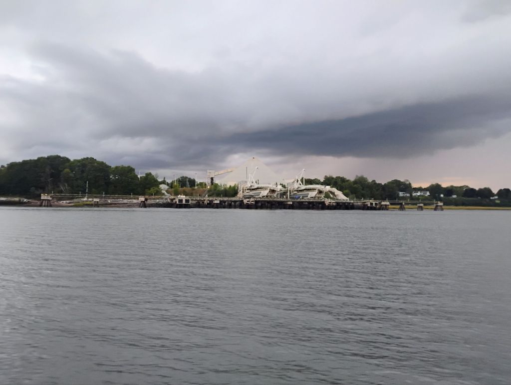
Looking at the charts in a bit more detail, I’ve realized that it probably makes sense to do a big loop from here, with St John as the midpoint. I’ve also been looking at exploring the Minas Basin. It looks completely doable in fair conditions. From here my basic game plan is to follow the NS shore line as closely as I can. Digby, Annapolis Royal, Hantsport and Maitland are all on my list, as is Parsborrough.
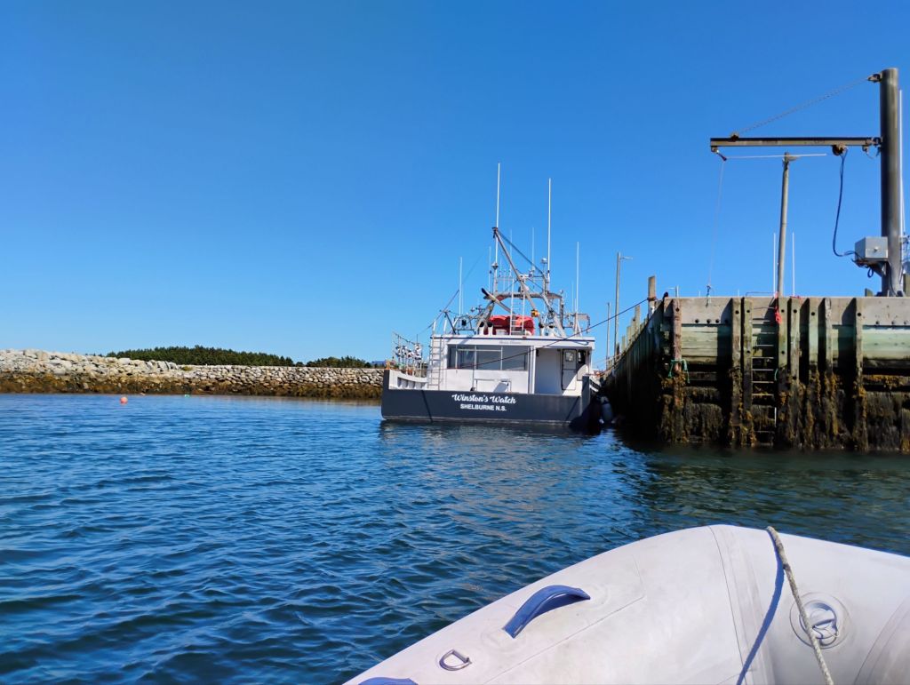
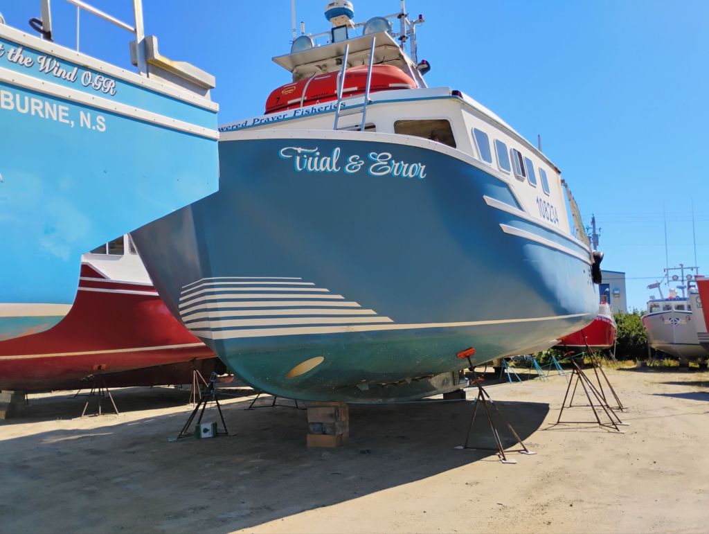
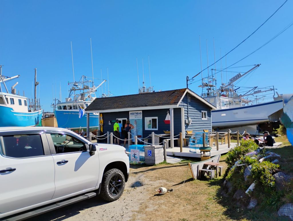
Today I left Shelburne around 0700 to get the currents right. Rounded Cape Sable close at slack current, and followed the shoreline north. Stopped at West Head for an excellent fish and chips.