Morgan City LA

Here I am. The end of the rivers for a while. In all my plotting and scheming about my trip this was the end point for segment two of my voyage. Segment one was from Lake Ontario to Chicago.

Today was a relaxed day, and the first that it was actually a comfortable temperature outside. Initially I tried exploring a bayou off the river, but it became clear after a few miles and the first fork that this was not likely to be successful. So I turned around and got back in the main river and stayed there. Not much remarkable to report, mostly broad, serene and empty. I realized about 3:00 that I hadn’t taken any pictures so I took one then. It’s representative of the day.

I’m going to stay local for the next week or so until Mark arrives. Lots to do just getting the boat clean and shipshape. It needs TLC. Mark and I are going to do some boat tourism for a few days, then home to Ontario for a couple of weeks. Then the next segment begins.

I’m still reflecting on this segment, and will report stats at some point soon. I’m also keen on lessons learned and summary notes, so will try to get those out. May not be until just before the next segment.

I’m really glad I did the route I did. I’m seriously thinking about what would be required to support a reverse trip. I think going up would be much more interesting than down, at least on the Lower Mississippi.

Into the Bayou

I stopped and anchored here about 3:30. Haven’t seen another boat since.

Was up at 0630 and shortly after went through the lock with some commercial traffic. This lock lowers about 20 feet from the Mississippi River to meet the Red River which becomes the Atchafalaya.

Shortly after that I stopped and had a chat with a guy who had kayaked down from the Illinois River. I’d heard he was ahead of me.

He said the snow earlier had been a mixed blessing. He lost a couple of travel days but gained a bunch of drinking water from melting snow over the campfire :-). Hearty guy.

The Atchafalayah is just starting to broaden out here, and there are a few different routes. I’ve begun to see permanent homes along the river bank – the big protective dikes are gone.

Tomorrow I should arrive in Morgan City.

Video

OK, so this is fun. If you didn’t read my Natchez post read it first. I think you’ll then recognize where this video fits.

Thanks Randy! You should sign up to be a harbor host with the AGLA!

I am so not a video guy, but I’m to thinking seriously of a dashcam. I would have liked to have captured my anchor retrieval technique, which was well proven that day. And some of the narrow cut footage would be worth sharing.

End of the Mississippi

I arrived at the Old River Lock around 4:00 and anchored here in the adjacent working harbour for the night. Tomorrow I’ll descend to the Atchafalaya River.

I left the old river by Natchez around 8:00. Another clear calm cool day, but warmer than yesterday. Put my bimini up for the first time since September. I was hoping to see how the cruise ship managed to secure, and found two on the bank

After leaving Natchez I was keen to explore the banks. I ventured into that areas outside to the main channel, in behind islands and over sand bars. I found a couple of more cuts into old sections of the river.

It was a fun day. I found myself thinking that it would be fun to do a trip up bound, hugging the shore and staying in shallow water. In many places the current isn’t bad, 1-2 mph. And in most cases it’s well clear of the tows.

As an experiment I tried logging my path with Nebo. I’ll try to share that when I figure out how.

Natchez

I’m anchored here. Big day.

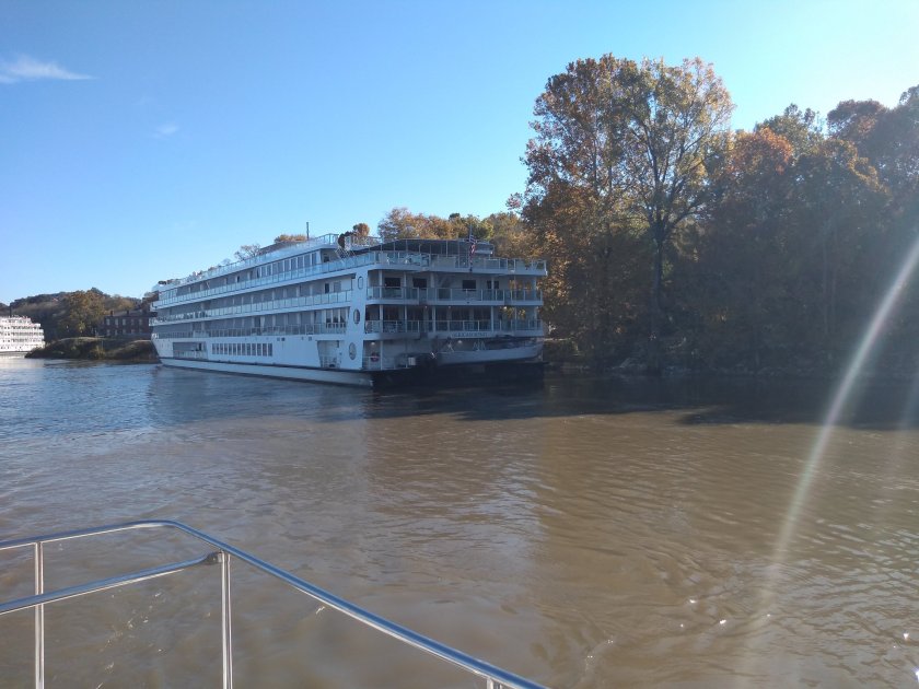
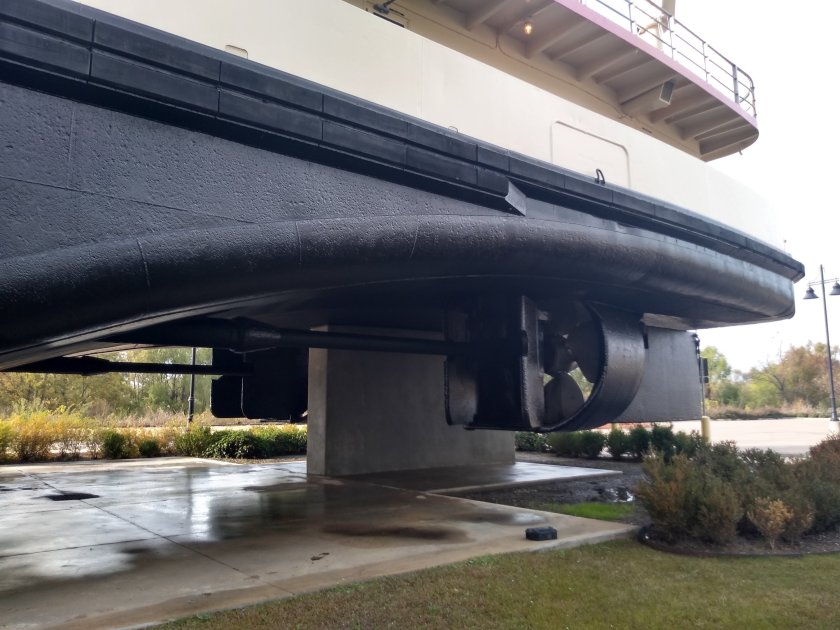
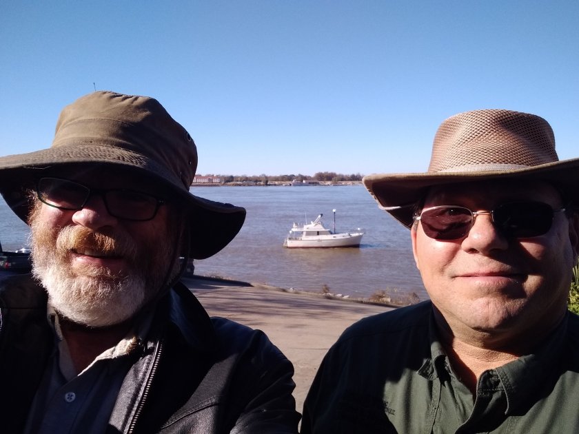
When I was chatting with one of the crew of the cruise ship that was docked at Vicksburg he mentioned that Natchez was their next stop, and that it was his favourite. He said they dock in a similar way in Natchez, with their bow to the ramp. I took that to indicate that there would be some opportunity for me to stop there. I carefully checked the charts, Google maps/earth, Active Captain etc. Nothing looked encouraging, but I thought I’d try.

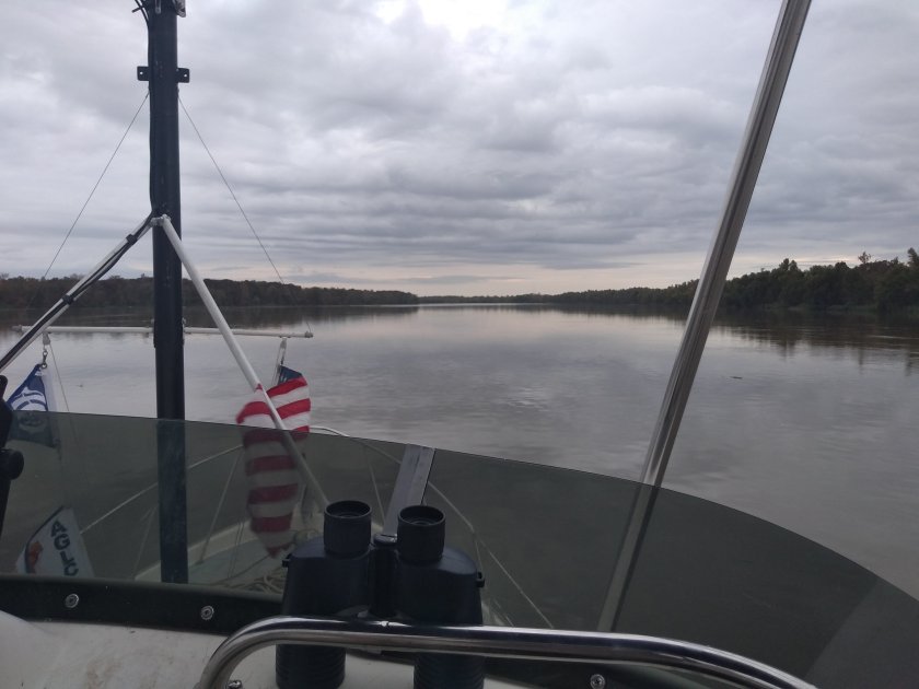
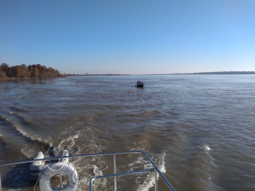
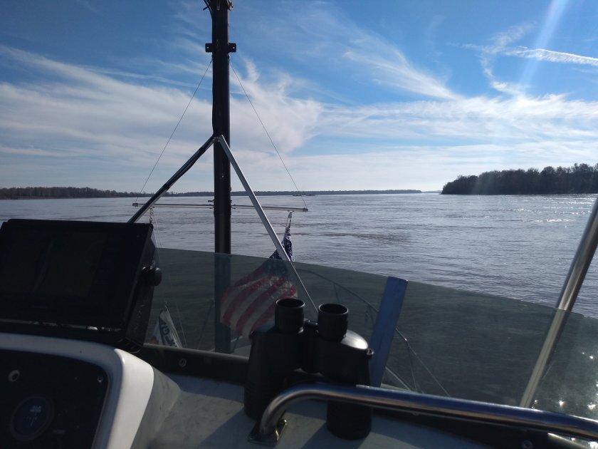
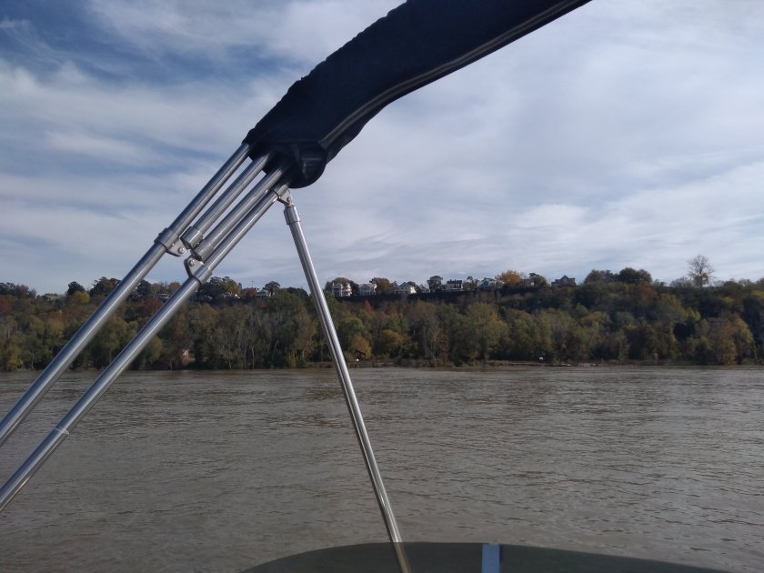
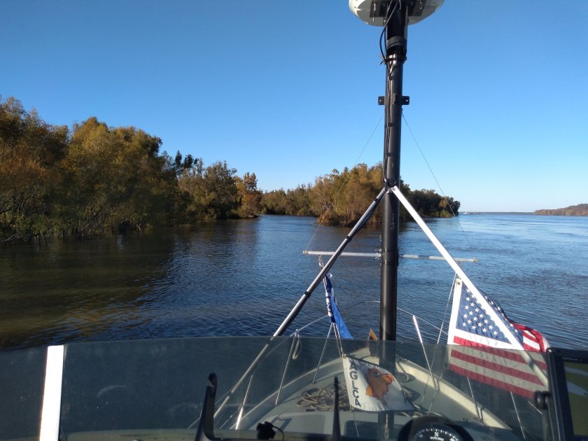
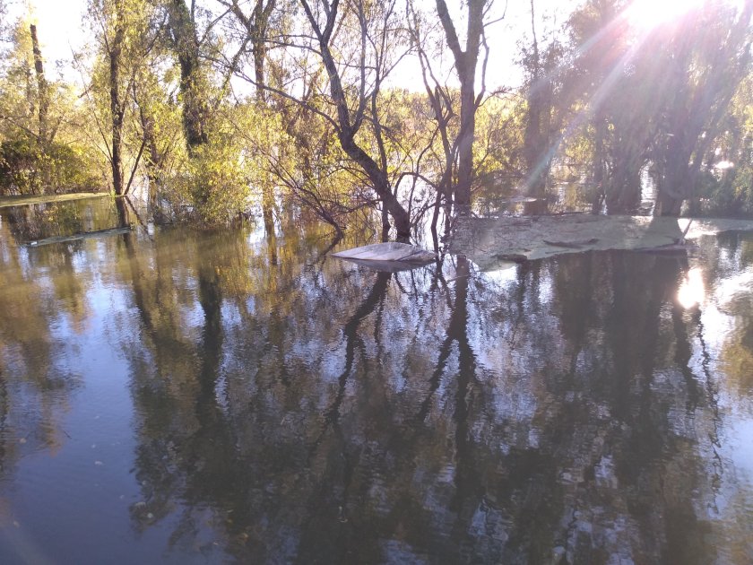
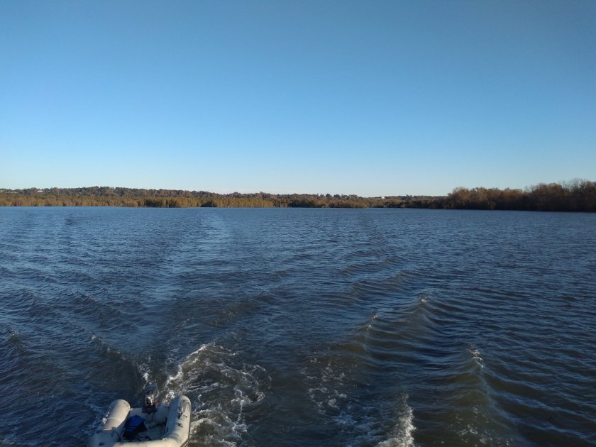
It’s about 75 miles between the two cities, so I set out at about 0600. Got to Natchez around 1:00 as planned. Clear cool and calm. I went slow and enjoyed the scenery. Had to dodge a few logs.

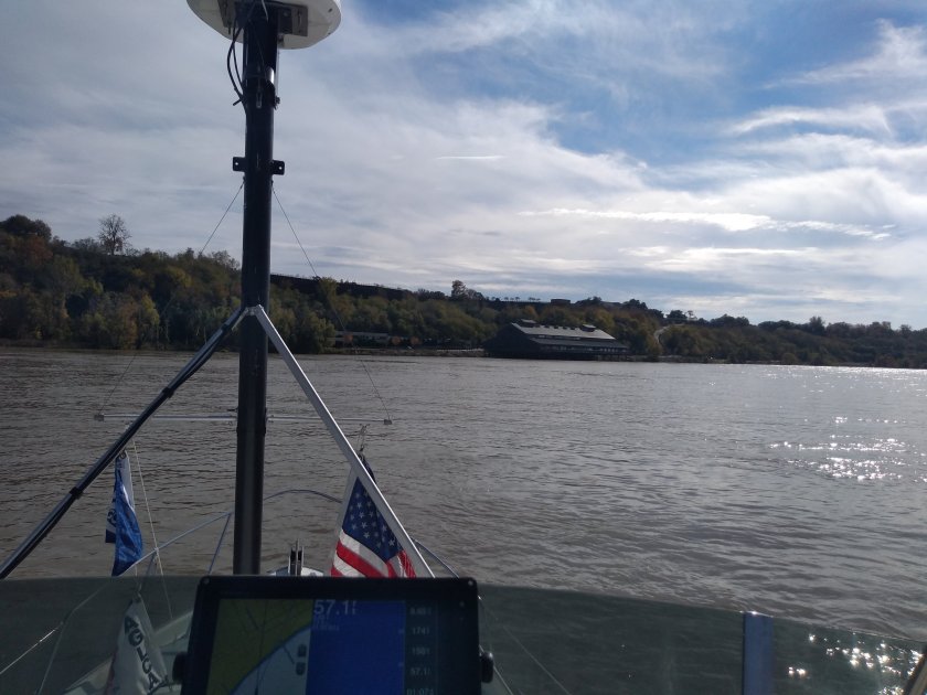
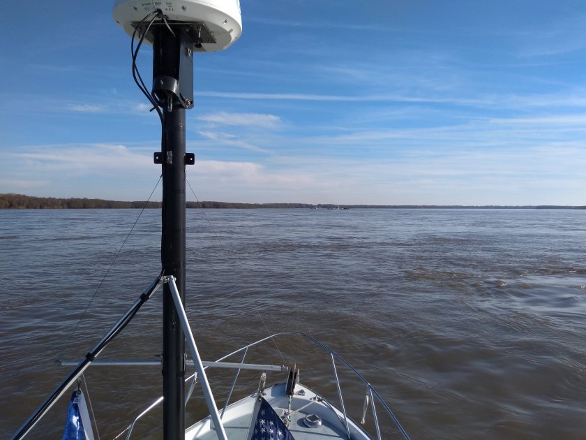
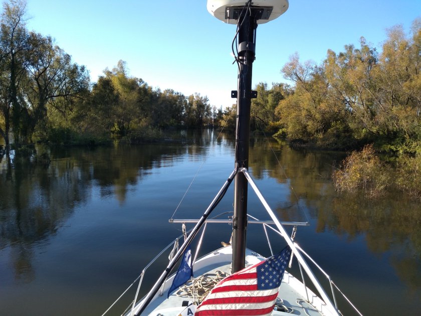
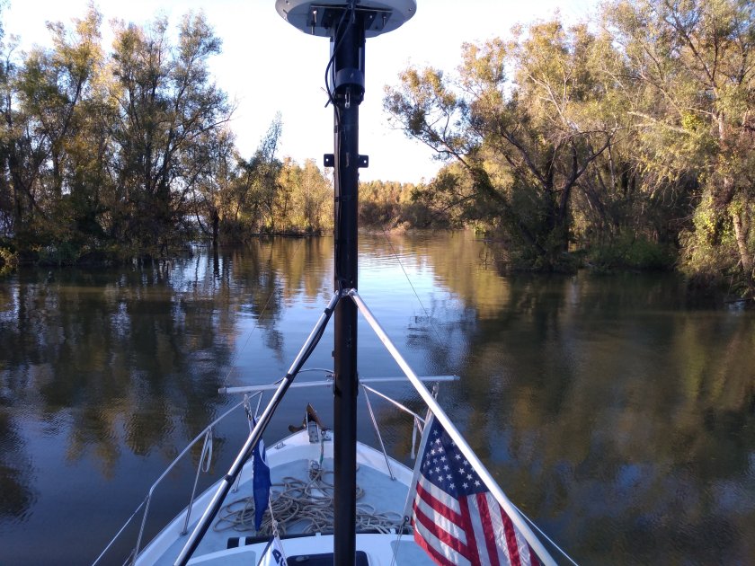
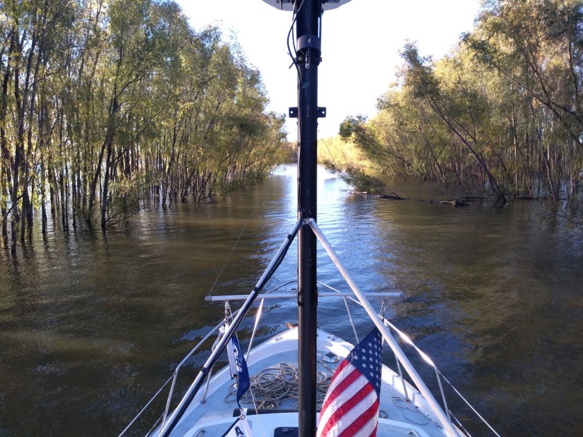
The second and third are coming into Natchez.

The river runs fast there. The big bend that Natchez was originally on was removed and it’s an abnormally long straight shot right past. I found two ramps. Was trying to imagine how a cruise ship could tie up. There was a 5 mph current 100 feet from shore in 60 feet of water.

I was sitting pretty much stationary heading into the current trying to figure out what to do next. I couldn’t see any way to go ashore, and was getting ready to turn downriver. But there was a guy on shore who seemed to have taken an interest in me. He was wearing a uniform and driving a city vehicle, and ended up hopping along the shore gesturing and trying to talk to me.

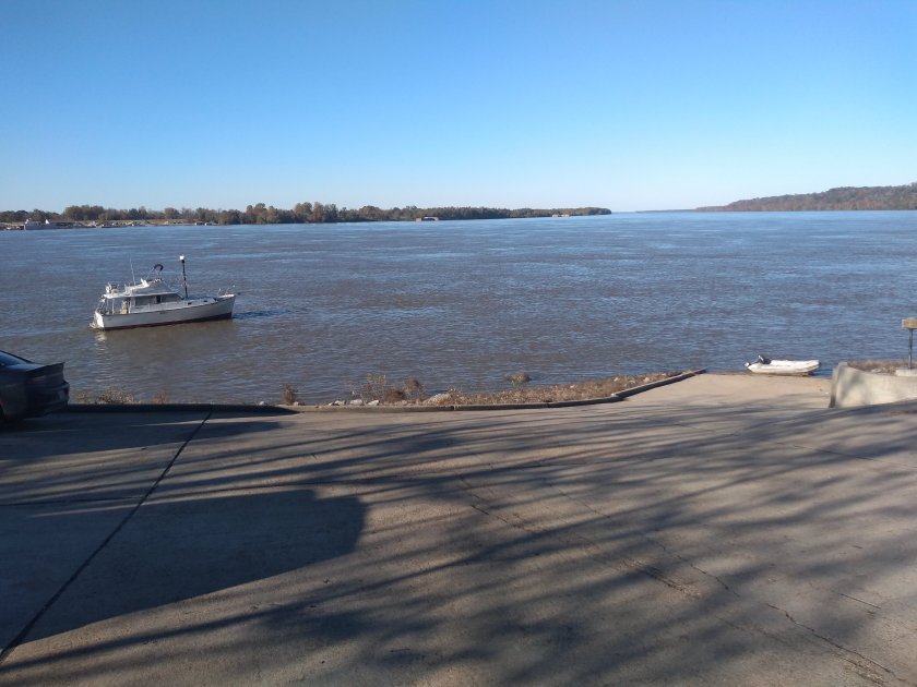
As we were trying to communicate I was crabbing closer to the bank. I was nervous because there had at some earlier point been a big casino right where I was. I though there might have been posts or footings lurking. But I did get down to 20 foot depth maybe 30 feet from shore. On an impulse I threw out my anchor and payed out about 150 feet of line. The anchor set immediately. After a couple of minutes I decided to go ashore and talk with the guy.

I wish I’d taken pictures. But I was trying to be careful and deliberate in everything I was doing.

Getting into the dinghy was like transferring between two moving boats. Both were leaving significant wakes. I pulled the RIB with some effort alongside, got a loop around the midship clear and got in with the end of the painter, got the outboard running, then let go of the line. Then a quick blast 100 feet to the ramp.

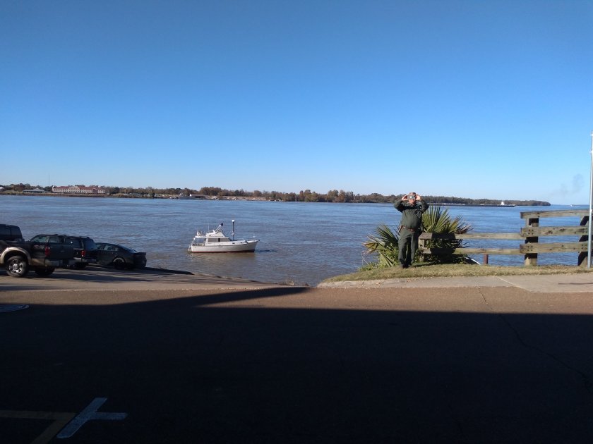
Randy, the guy on shore, was indeed trying to give me advice on how to get in. He was disarmingly friendly, enthusiastic, and generous. I got a 15 minute rundown while watching Mazurka steam along at anchor.

There were restaurants close by, but I couldn’t see the boat from them. So in consultation with Randy and a better lay of the land I went back, pulled anchor and ran a few hundred feet upriver to the other ramp, got in as close as I felt comfortable, and anchored again. Current was less here, maybe 3 mph.

Randy offered to take me on a tour of the town but I didn’t want to leave the boat unattended and wanted to get underway with lots of time to find a spot for the night. I had a late lunch at the local grill, and got back underway.

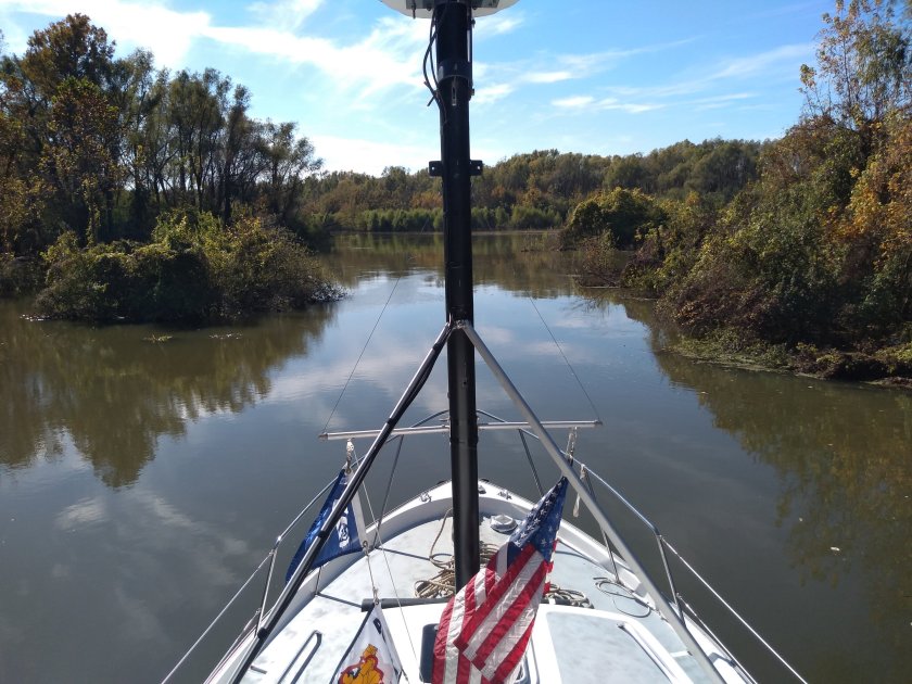
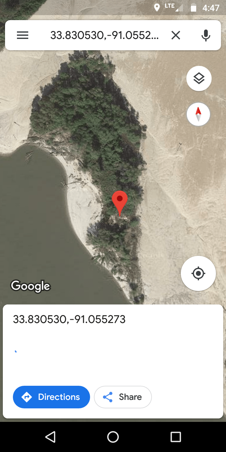
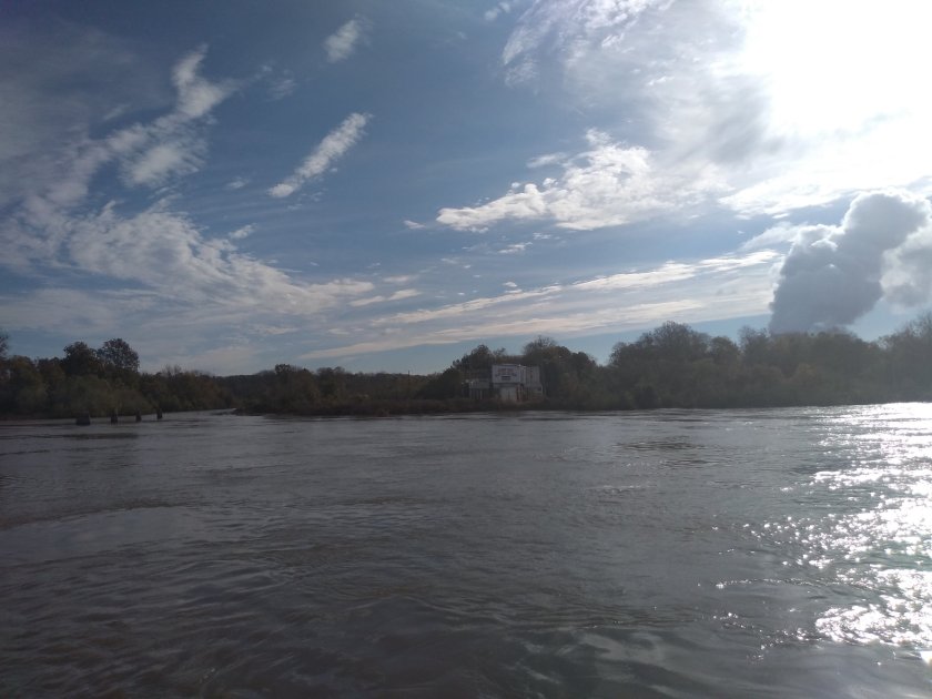
Randy suggested I go up to what he called Old River about a mile upstream on the opposite bank. My chart didn’t show anything there, but I found it. Glad I did. Just a diagonal cut that could easily be missed coming downstream.

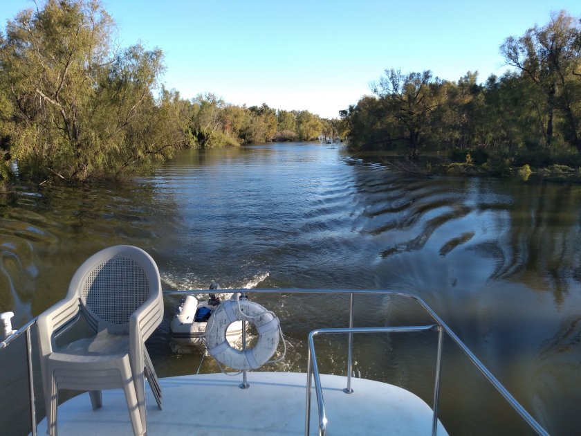
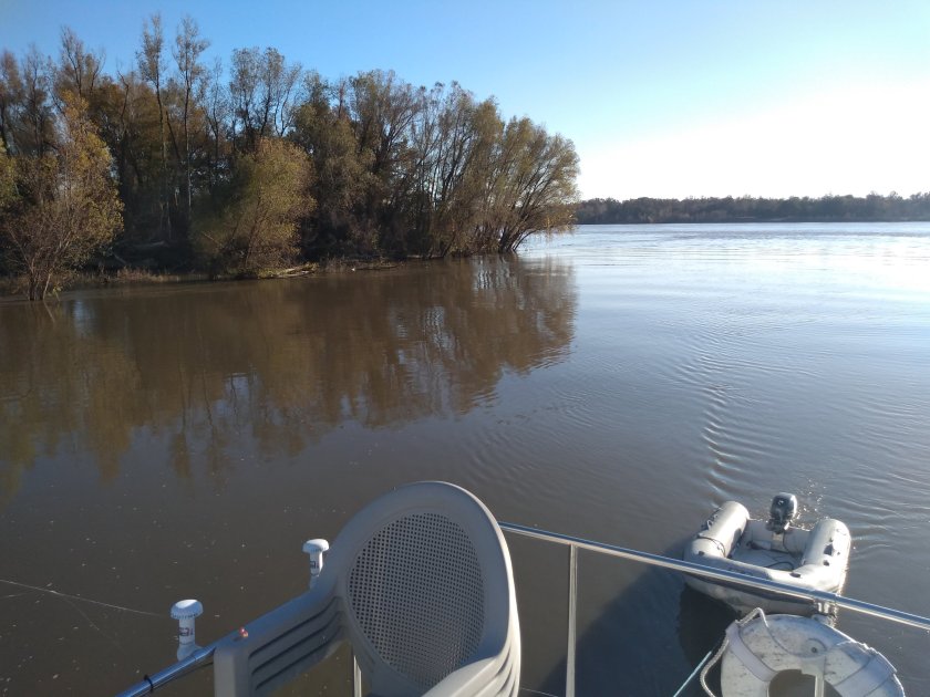
I never had less than 20 feet of water, and it was all river bed. No snags or rocks. After a mile or so we entered the old river. I ran a few miles up looking around. There were a bunch of cottages with the big dike and a town behind them. No obvious easy way for me to get to the town. There was a Walmart less than 1/2 mile away that I could see on Google Maps.

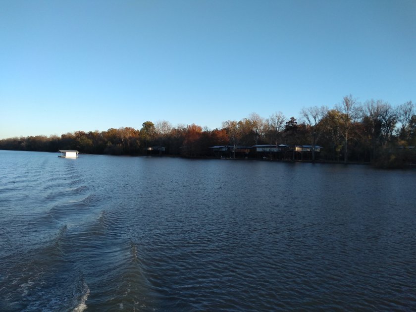
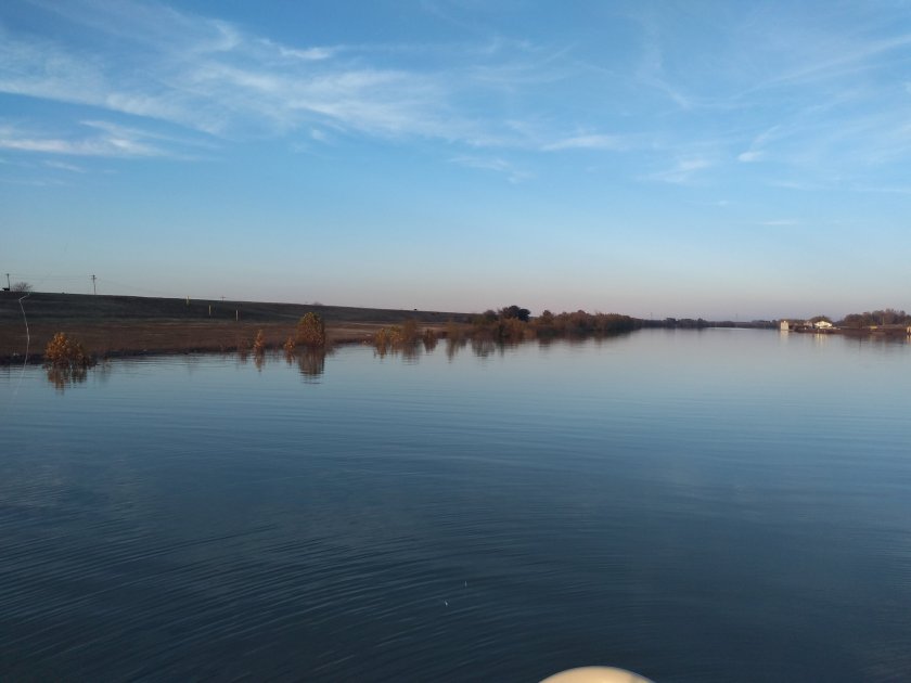
I went back to the end and anchored for the night. Beautiful spot, no lights or noise or current.

Vicksburg

Ok, I like this stop so far. Came about 40 miles this morning, relaxed travel. Passed my buddies for the fourth day

They pulled in behind me this afternoon, so maybe we’ll get to chat. Pretty sure they’ve come down from Lake Michigan as well. Not going fast. A couple of people have mentioned a kayaker who paddled through recently. So there is some recreational traffic, but visiting pleasure boats are a bit of a novelty it seems. There is a cruise ship tied up here right now. They run a ramp out from the bow to the ramp for passengers to disembark.

There are still some logs to dodge. I actually hit a big one that I missed seeing. Good clunk as I ran over it followed by the outboard kicking up as the dinghy went over it. No big deal, but I still have to pay attention. Today was a little harder as I had a 10-20 knot south wind that at times kicked up the waves enough to make spotting them harder.

In Vicksburg there is a seawall/ramp that is easy to land the dinghy on, and I set bow and stern anchors to stay well out of the way of commercial traffic on the Yazoo River.

The last pic is taken from a river museum that has a towboat ashore as an exhibit. Pretty cool. And free!

The old downtown is cute and vibrant. I’m here until at least tomorrow. Enjoying some pub fare as I write this. It’s 21C today, the warmest it’s been, but grey and occasional rain. Supposed to get sunny and cold over that next couple of days, but not below freezing.

Louisiana

Today was fun. And somewhere along the way the right bank switched from Arkansas to Louisiana. I’m stopped for the night here.

After I checked in yesterday my plan was to go ashore and seek out dinner. But that turned into a bust, as there was no suitable place to secure my dinghy. I did go ashore this morning, pulled the dinghy up on the bank next to the casino. I walked around the old downtown looking for coffee, breakfast or provisions and came back empty-handed. Zero stars. But it was foggy so I couldn’t leave early anyway.

River was not busy, and I passed my companion travelers for the third time. Saw two aboard today. They’re going very slow.

Oh and met a paddlewheeler leaving Greenville.

I had a list of things I wanted to do today, and I think I did them all.

I’d been thinking more about current and drift. Today with the river pretty much clear of traffic – I had a southbound tow about 4 miles in front of me and only met a couple of northbound – I was free to experiment. So I attempted to go directly down-current by keeping my heading and COG as closely aligned as possible. I also had a split screen to the scrolling sounder to get a mental image of depth contours, which are not on my plotter. I’m making good use of my new electronics 🙂

The results were about as expected. Current was 4-7 mph. Interesting watching the depth, going over wiers, sweeping to the deep outside of the bends.

I also wanted to get off the big river and poke around a bit. And with the water high I figured there are a bunch of places outside the channel that could be explored. Carefully.

Greenville is at mile 537. I was thinking of stopping at a working harbour at mile 483 to look around, and as I got closer and started to look I saw a meander starting at mile 489 that appeared to connect, and that got closer to the little community of Lake Providence. So I poked my nose in. Lovely little diversion.

At one point we were separated from the main river by just a small strip

The current was about 2 mph, depth 20-25 feet and smooth. Idling along.

Then into the working harbour

I was quite keen on going ashore. So I anchored up in the head of the harbour near what looked like a service road and went ashore

But it was too swampy, so I ended up blasting back in the dinghy to the towboat dock, chatted with the guys there, and rode my bike over the big dike and a few miles into Lake Providence from there. Then back to spend the night at anchor. It’s lovely, about a mile above the industry in a dead end, no current, and excellent internet.

All in all an enjoyable and interesting day.

Greenville MS

I’m anchored here, came in around 1:00 and am here for the night.

I’m covering off two days here. Sorry. I’m not big on writing when offline.

Yesterday was a lazy day most of the way. I slept in a bit, got underway about 0730 and hung around waiting for a southbound tow, thinking I’d do a repeat of Wednesday. But after 1/2 hour with nothing in sight I got impatient and headed south on the river. I saw this guy go by then passed him. Old sailboat mast down towing two PWC (jetski). Looked like solo, he said he’s going to LA.

The day was calm, sunny, maybe 15C. River was subdued, no logs. Towboat encounters were uneventful. Think I’ve got that figured out.

I met a cruise ship!

At mile 599 I passed the White River. I didn’t realize it at the time, but this is the navigation route to the Arkansas River. I had noted earlier that the Arkansas River met the Mississippi about 20 miles further down. Anyway, it seemed to be dumping an enormous amount of water into the Mississippi.

The ride got a little wilder after that. Probably more current than I’d seen before. Pretty solid 5 – 6 mph and sometimes more. I started seeing debris in the water again.

I should say the earlier in the day I had been following the shoreline rather than staying out in the middle. This was more scenic and interesting, and also gave me more options for avoiding the prop wash of northbound tows. They leave a lot of turbulence for a long way. The wing dams are all underwater and it’s pretty obvious where they are, both using the chart and the eyes, especially if sitting up top.

I passed a few houses that looked like more than cottages. First time since the Upper Mississippi

You can see lots of turbulence in the second pic. It’s 100 feet deep here, no control structures. Just a boil.

I was planning to stop in the Rosemont slack harbour, but in the interest of exploring poked my nose in here and anchored.

The cool thing is that this little channel only exists during high water. Here’s the satelite view

Anyway, it was very cozy and secure. Maybe 3 mph current and clean water

I hadn’t seen any internet connectivity most of the day, and there definitely wasn’t any there. I sent a text to Samantha to let her know I’d stopped and the text wouldn’t go through. Roaming carrier wanted me to pay for access. So after deliberation I tried to buy a cheap roaming pass, but then couldn’t use my credit card because I don’t have a zip code.

After much deliberation – such a pretty spot! – I got back underway and went a few miles down to Rosemont. I could see a water tower from where I was that appeared to be there, and I figured I could find internet or phone service to check in.

After anchoring here I dinghied into shore. Ran into a couple of locals who said there was a little village a couple of miles away but that everything was closed as it was Thanksgiving. They did say there was Verizon coverage inside the dike. So I biked about a mile, got briefly connected and checked in.

I wasn’t in any rush today, and by many reports this is the last place to go ashore for me. And it was rainy and windy this afternoon. And I have internet. So here I am. Had the heat blasting – I’m back to using the a/c system – and am thinking of going ashore for dinner.

Weather looks great for tomorrow. I’m feeling no rush as my deadline is two weeks to cover ~450 miles so will go slow and enjoy.

A Perfect Day

Well, if I had to nitpick I’d like it 10C warmer. And early on was a bit cold, damp, and at times impenetrable.

The big tows were all on the bank waiting it out. I did too. The first southbound tow that I saw getting underway I followed. It was the Keith Darling with about 35 full barges.

I had noticed coming down to Memphis that I was running at about the same speed as the tows. I caught glimpses of boats north and south of me on AIS but we never closed the gap. So I had made a plan to try to get on the back of a tow.

I did that today with the Keith Darling. Stayed 3/4 – 1 mile behind all day.

It was so easy and so educational. I’m going to suggest that as a great strategy for big river newbies.

I anchored here
https://goo.gl/maps/xZYwNMEsRKT2

Fabulous spot. No current, little commercial activity and cows. I identified it this morning with Active Captain and stopped at my target time of 1600.

After the freezing fog (that’s what the weather alert called it) burned off it was clear, calm, sunny and cool, maybe 10C max.

I should also report that my generator seems to be fully functional now. I have it running now for evening heat and cooking. Will decide later whether to shut it down tonight.

I’m happy to be towing the dinghy. At these speeds I keep it on a short painter and don’t even think about it.

So back to following the tow. I’ve been listening intently to the VHF working channel 13. I’d say 20% of what I heard made sense when I first entered the Mississippi. At Memphis it was 50%, and now it’s 80+. Every meet between tows is negotiated over the radio, often with very few words. Following one boat for the day gives great insights into these negotiations.

The other huge advantage of following is that the tow has right of way over northbound traffic and they stay well out of the way. I essentially stayed on his path and didn’t sweat any of the meetings.

I also want to report that there’s almost no debris now. I only had to dodge once or twice and wasn’t obsessing over log spotting.

I also had a lot of opportunity to play with my new plotting and tracking capabilities. They also really helped me refine my intuitions about crossing courses on the bends. I was finding the bends disorienting watching the tows, but watching it play out on the plotter really helps. The drifting is very cool. I was watching this from a good view point.

https://youtu.be/IWll6vg-FlA

I’m looking forward to tomorrow. More of the same and warmer.

Tonight’s sunset

A few more pics. Hope the detail on the tows comes through. I’ve got a little screen and don’t look to closely at them. My new phone seems to take decent pics.

River Rules

I’ve been puttering around today, did some biking and walking around Memphis. Picked up a new capacitor for the generator.

But mostly I’ve been thinking about the last couple of days. I knew in the abstract what to expect, sort of. I’m not risk averse, figured I’d survive, and really wanted to experience it. But the realities made me a bit uncomfortable the last couple of days. Mostly an acute conciousness of the raw volume and power of the river, but also the volume of tow traffic, and the maneuvering constraints they’re under, particularly southbound.

To be clear, I am confident that I’m not in any more danger here than I have been elsewhere in my travels. There are risks inherent in operating solo that I’m quite comfortable with, and that I try to manage. But I’ve had to get my head around a new set of risks.

Mostly I’ve had to make a new plan in case I lose power or steering. I’ve come to realize that the chance of the boat surviving may not be great if that happens.

Once I made that clear in my mind the focus shifted to individual survival rather than saving the boat, and that’s relatively easy to solve for.

Here’s my plan if I lose power suddenly and/or unexpectedly.

1) Declare an emergency and ask for help. Pull that red tab on the VHF immediately.

This is going to be really hard for me. My instinct is always to buy time. Sometimes I can fix problems, and I have abiding faith in self healing. But in this case there is no time, and it truly is an emergency. Take any help and advice offered. Let the pros tell me what to do. I can try to resolve the problem while this is in progress.

2) Be prepared to get into the dinghy and get to safety if things do not look good. Choose my moment. Get off well before the boat hits the bank or a barge.

So I have an action plan for tomorrow and then I can leave here happily.

a) get the genset running, operate for a while under load. Make sure no water in separator.

b) change fuel filter. My fuel system is very clean but it’s been more than a year.

c) make sure my spare rode is ready to deploy.

d) pump up and launch the dinghy, take it for a spin around the marina. Tow it downriver.

e) have a ditch bag with VHF, passport, etc.

There! I’m as well prepared as I feel I should be. This actually lifts a great weight. I’m ready and excited. And it’s going to be warm enough to hang out on top 🙂

Of course I’m going to remain vigilant in dodging debris and piloting, as well as the usual monitoring of systems. Honestly I think the biggest risk is having debris damage the prop or rudder, but it’s hard to imagine complete incapacitation from that.

My plan is to slow down, stop anywhere that looks interesting, and do more moderate days. The rush is over.

I’ll sleep easy tonight. Leaving Wednesday. This is so cool.